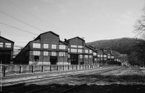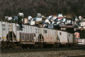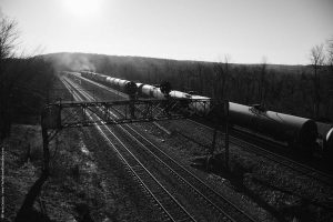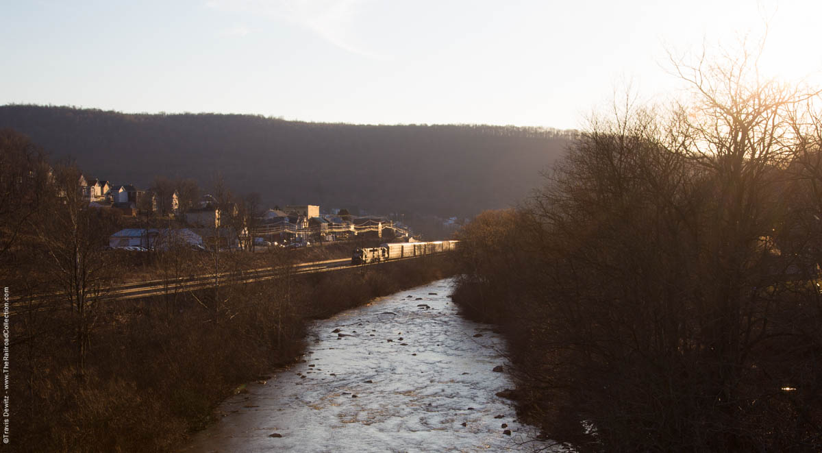
Little Conemaugh River – South Fork, Pa.
It has been 20 years since the last time I was along the Pittsburgh Line in central Pennsylvania. It was still Conrail and I believe the first I had seen of an eastern railroad. I remember hearing the low throbbing diesels for what seemed like hours before before those blue locomotives came into view grinding up and around Horseshoe Curve. I remember visiting all the highlights of the line including the Juniata Locomotive Shops, Rockville Bridge, and the tunnels in Gallitzin. A work related trip a couple years ago had me in the oil rich areas of the Allegheny Mountains and ever since I had started planning another trip back to Pennsylvania. I loved the architecture of the historic buildings and homes in the quaint communities tucked into the hills and wanted to experience the Norfolk Southern’s Pittsburgh Division as an adult. What pushed me even more was Michael Froio’s, From the Mainline, photography project that was inspired by the work of William H. Rau who was commissioned by the Pennsylvania Road in the 1890’s to document the railroad. Michael writes, “From the Mainline” is an exploration of the landscape along the former Pennsylvania Railroad. Examining both the inhabited landscape developed along the line while celebrating the grace of an engineering marvel undertaken over 150 years ago. Through a two-fold approach, photographs look at the context of the railroad in the landscape and also work to emulate the viewpoint of what the passenger might experience from a railcar window. The story of how this railroad influenced the development of United States is told by illustrating the transitioning landscape, uncovering the layers of growth, decline and rebirth of small towns, industrial areas and city terminals that were once served by this historic transportation system.”
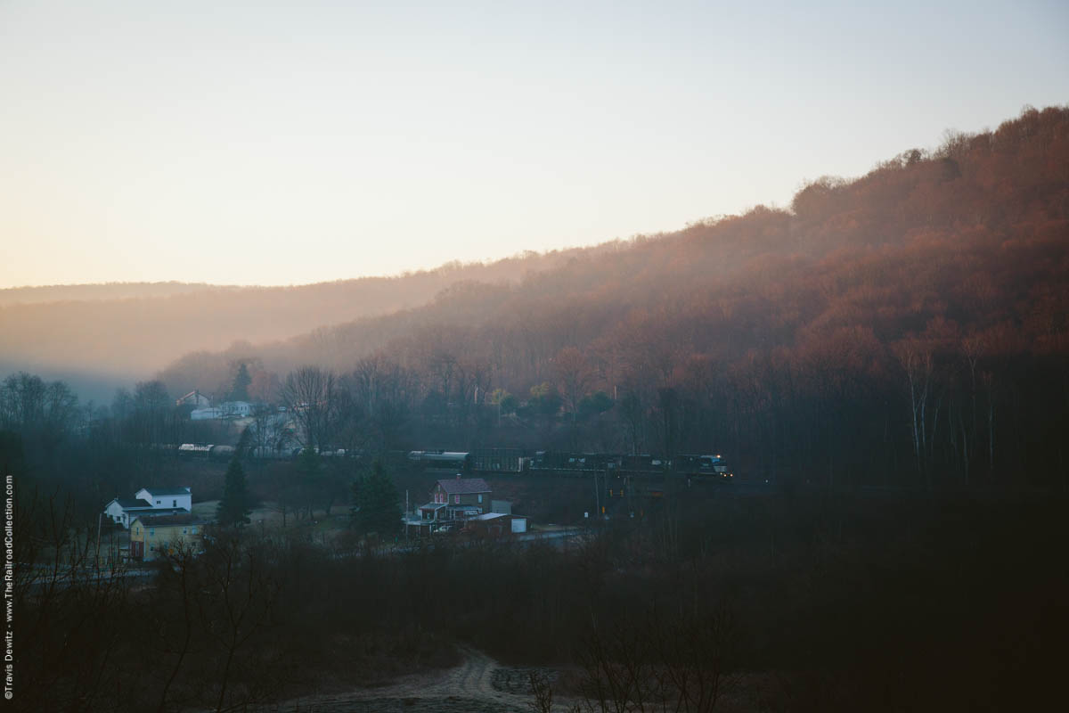
Mineral Point, Pa.
I first saw Mike’s From the Mainline project in Lake Forest, Illinois during his presentation at the Center for Railroad Photography & Art conference. I loved the atmosphere and compositions of his work which allowed me to see how the railroad was integrated into the landscape differently than I have seen it before. I felt his photography shared many similarities to my own and I was better able to relate to the railroad landscape throughout Pennsylvania because of his prints.
I was able to make it back in the early 2016 and I decided to photograph the Pittsburgh Division between Johnstown and Altoona. This was the same line I saw as a kid then owned by Conrail, which was split up in 1999. The main area of interest I wanted to explore is known as the West Slope which is a triple tracked mainline from Johnstown up to the crest of the Allegheny’s at Galitzin. I also planned to explore the steeper grade (upwards of 1.8%) of the East Slope down through the famous Horseshoe Curve and into Altoona. I knew it would be a challenge to photograph this area in a way that hasn’t been done before. This area has been well documented by many amazing photographers past and present. I decided a better angle would be to set out and capture the essence of this area in my own style. Not to complicate matter more but I only allotted myself a day and a half to do it in. I didn’t plan on documenting the line and communities along it very thoroughly but more just wanted to get a good feel of it for any possible future trips back there.
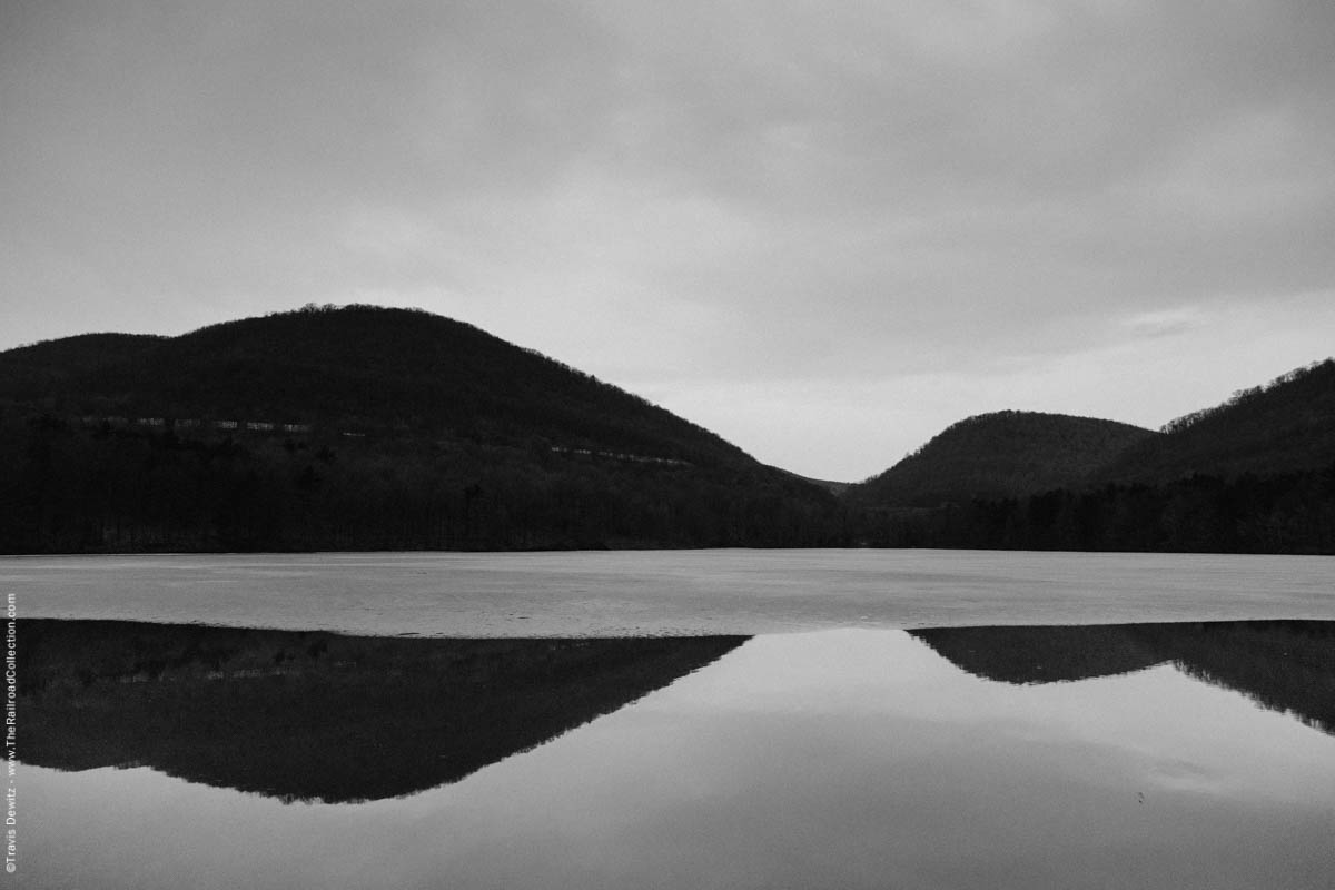
Kittanning Reservoir and Horseshoe Curve – Altoona, Pa.
I started in the eerily calm predawn hours in Johnstown, on the east end of the West Slope. Johnstown was settled at the confluence of the Little Conemaugh and Stony Creek Rivers in 1770 and was once home to Bethlehem Steel. Steel is still produced in this historic city but nowhere near the production when it peak post World War II. Norfolk Southern’s mainline continues up the Little Conemaugh River Valley twisting along the steep valley walls to South Fork. At South Fork the South Fork Little Conemaugh River converges with the Little Conemaugh River. The track alignment starts to take on a straighter course as it crosses the Little Conemaugh River five times in roughly only a ten mile stretch to Portage. The eastward grade from Portage increases over 1% and maintains a fairly straight alignment to the crest at Gallitzin. The line drops quickly from Gallitzin down through Horseshoe Curve into Altoona clinging along the steep irregular mountain sides. I spent the next morning exploring the heavy grade of the east slope from Alto Tower in Altoona west to Tunnelhill. Unlike the West Slope that is dotted with many towns, the East Slope is tough terrain with no suitable land for a community to get a foothold in. The highlights of the include Horseshoe Curve, Allegrippus Curve, and MG Tower. I ended my time along Norfolk Southern’s busy mainline on the Middle Division just outside of Tyrone. Looking back at this piece of railroad, I noticed how overbuilt it feels. The large archways built of stone used for most if not all road and water crossings with not a signal at grade crossing to be found. Large portions of the right of way are built completely separated from the natural landscape and communities , much of it hidden from view. It is an impressive transportation corridor that I would believe was a sight to see in its heyday.
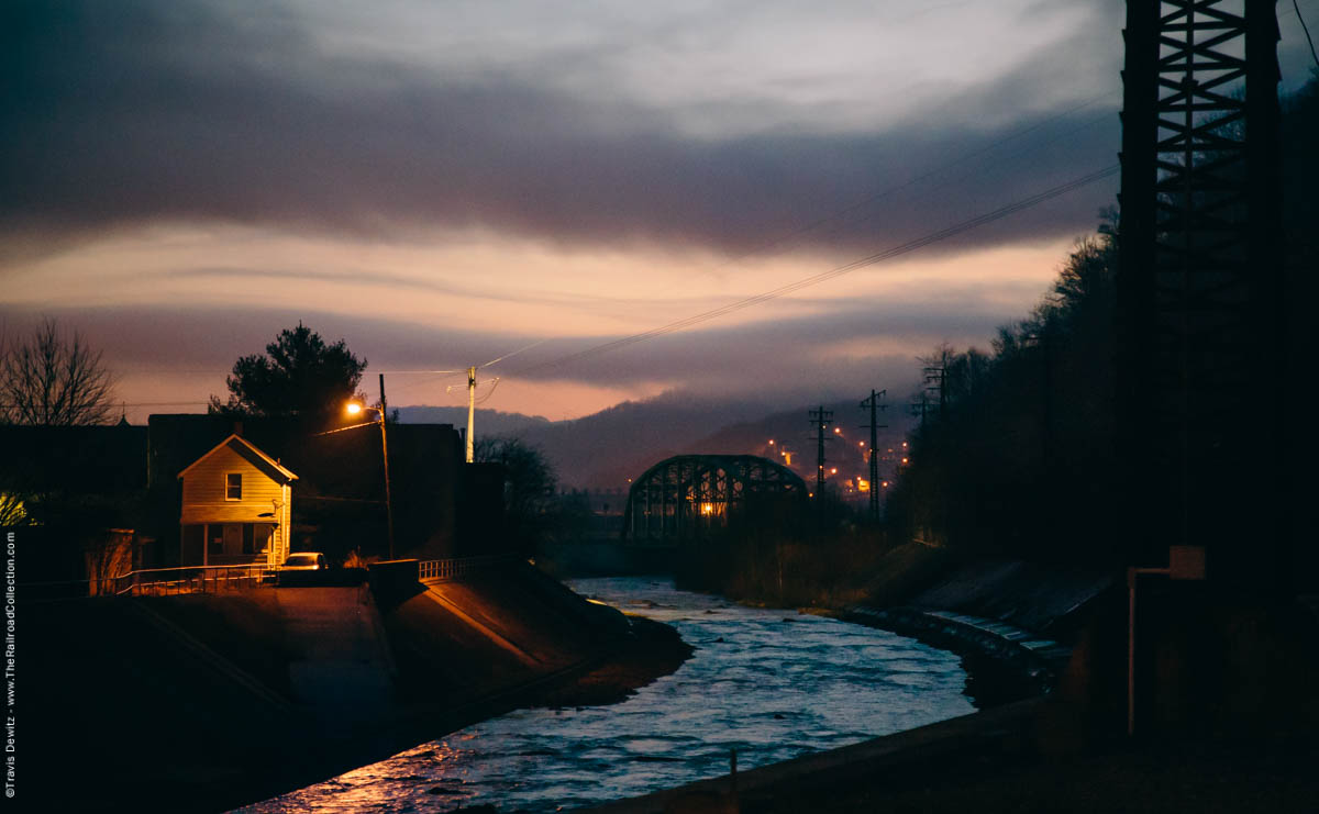
Johnstown, Pa.
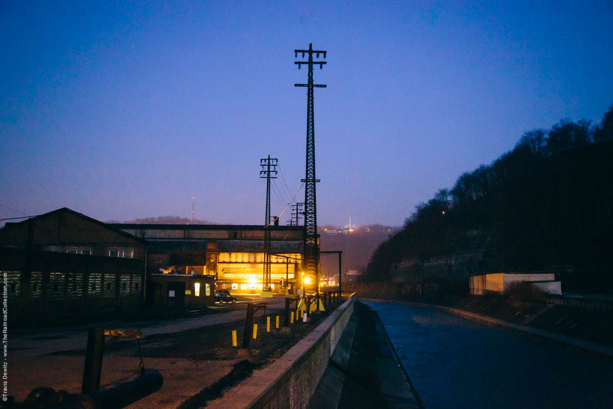
Steel Mill – Johnstown, Pa.
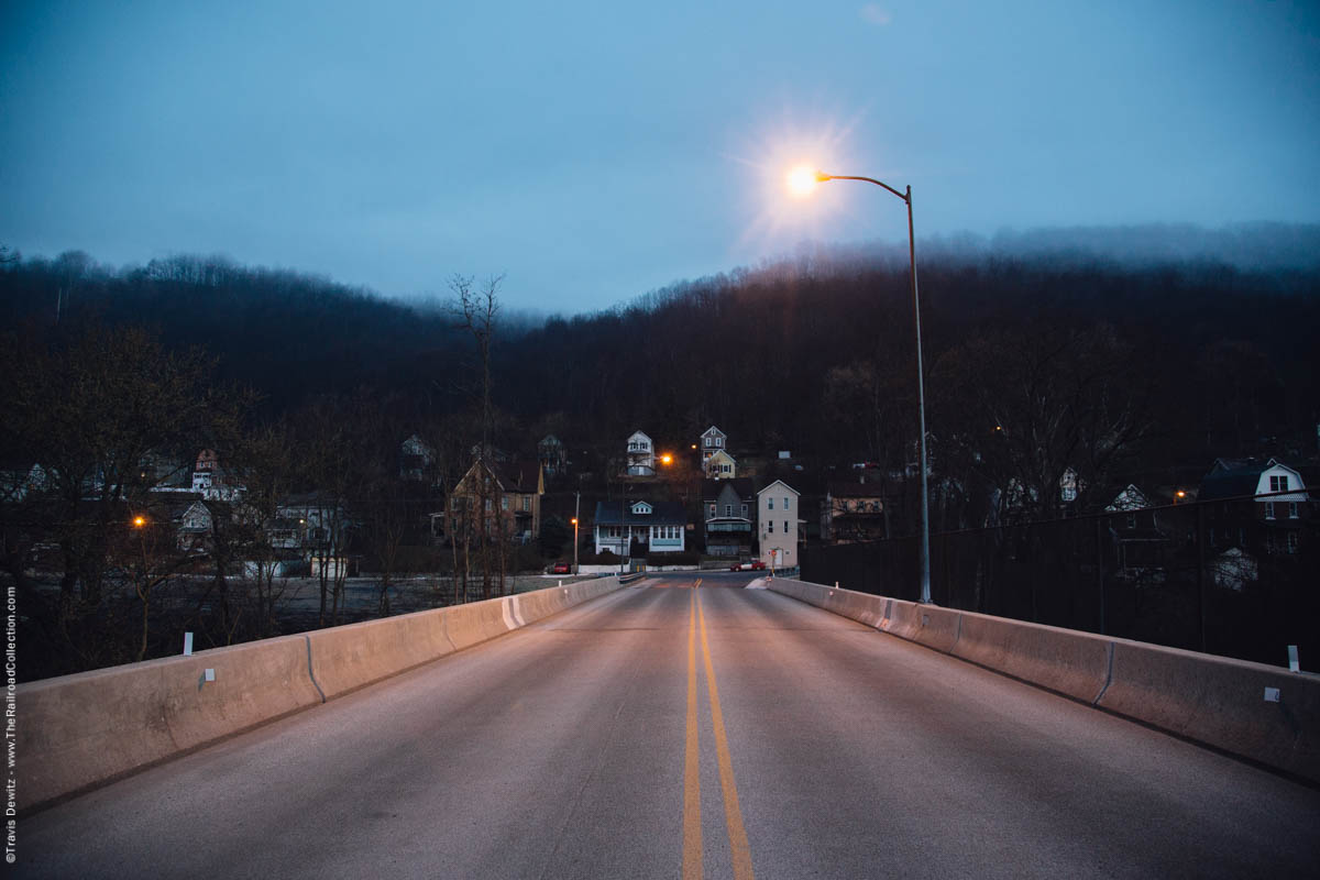
Woodvale, Pa.
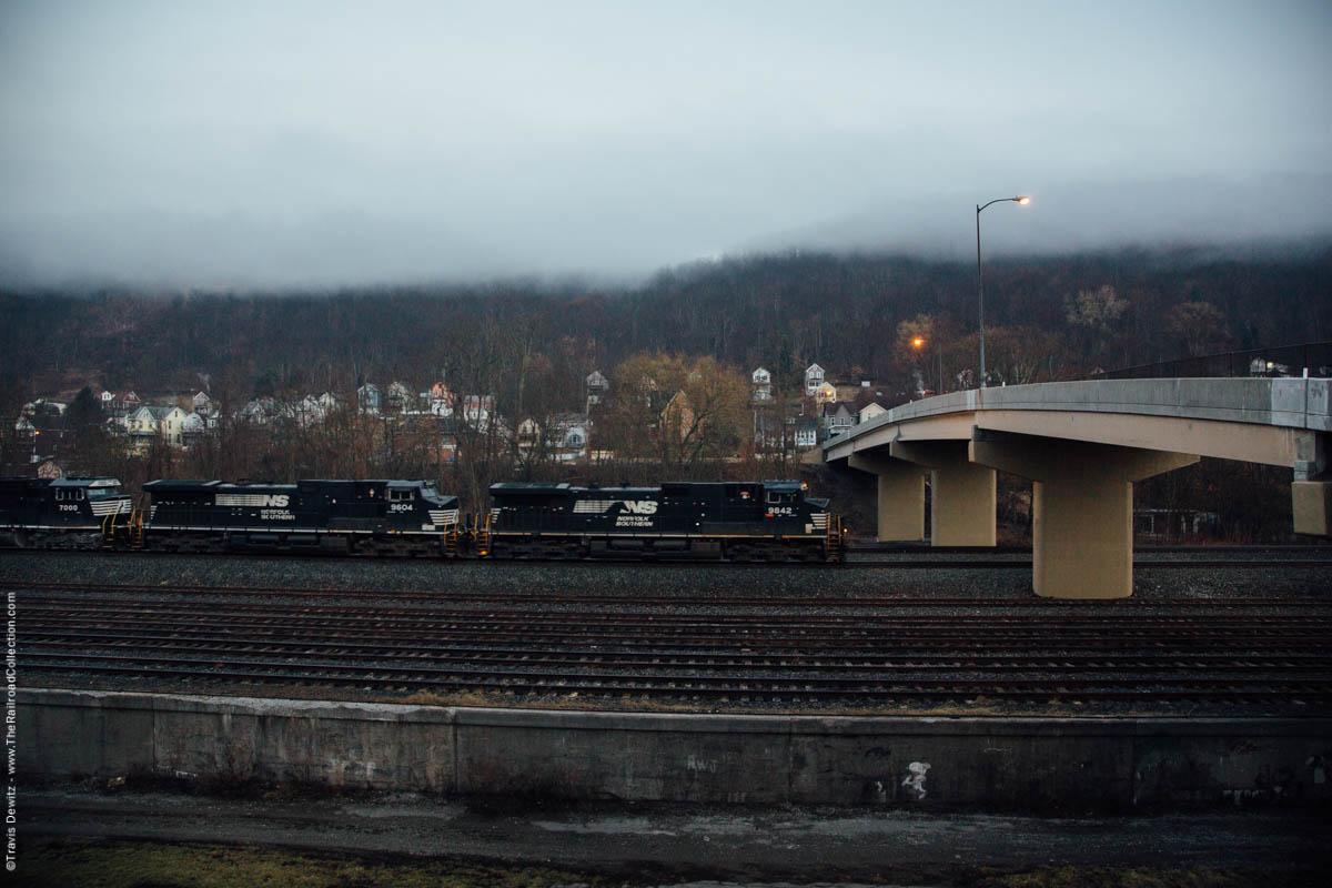
Woodvale, Pa.
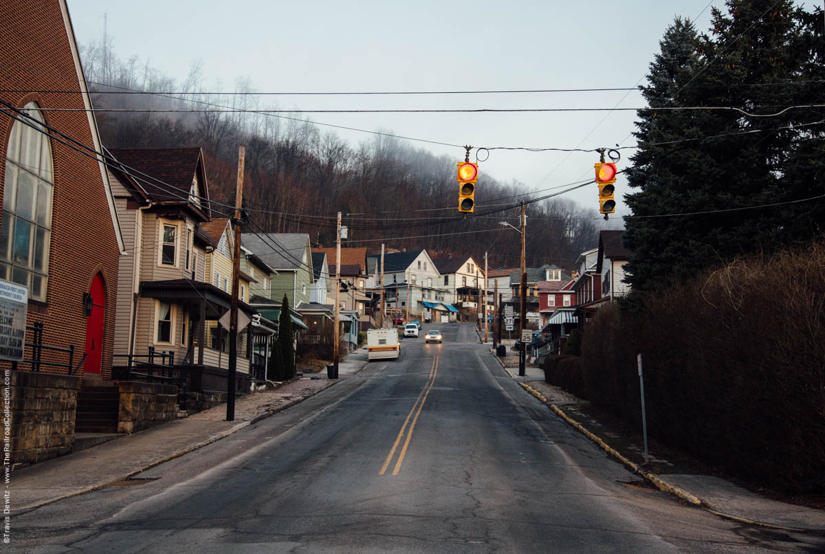
East Conemaugh, Pa.
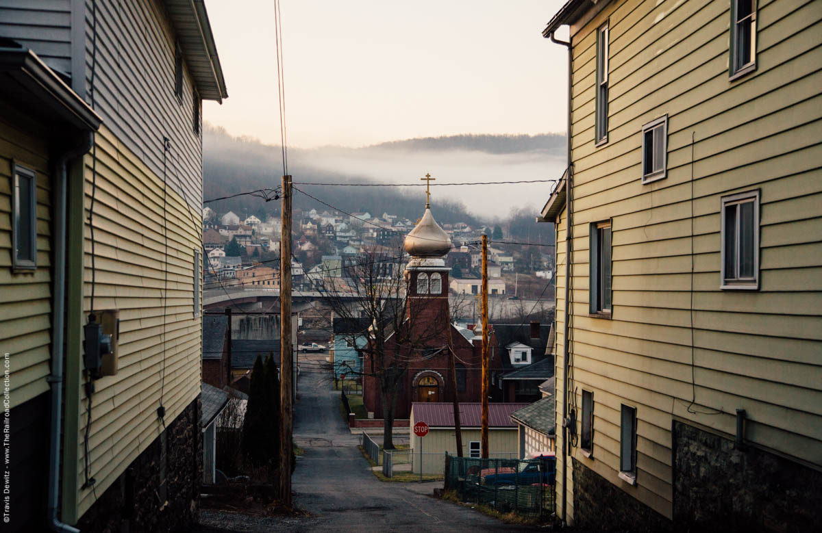
East Conemaugh, Pa.
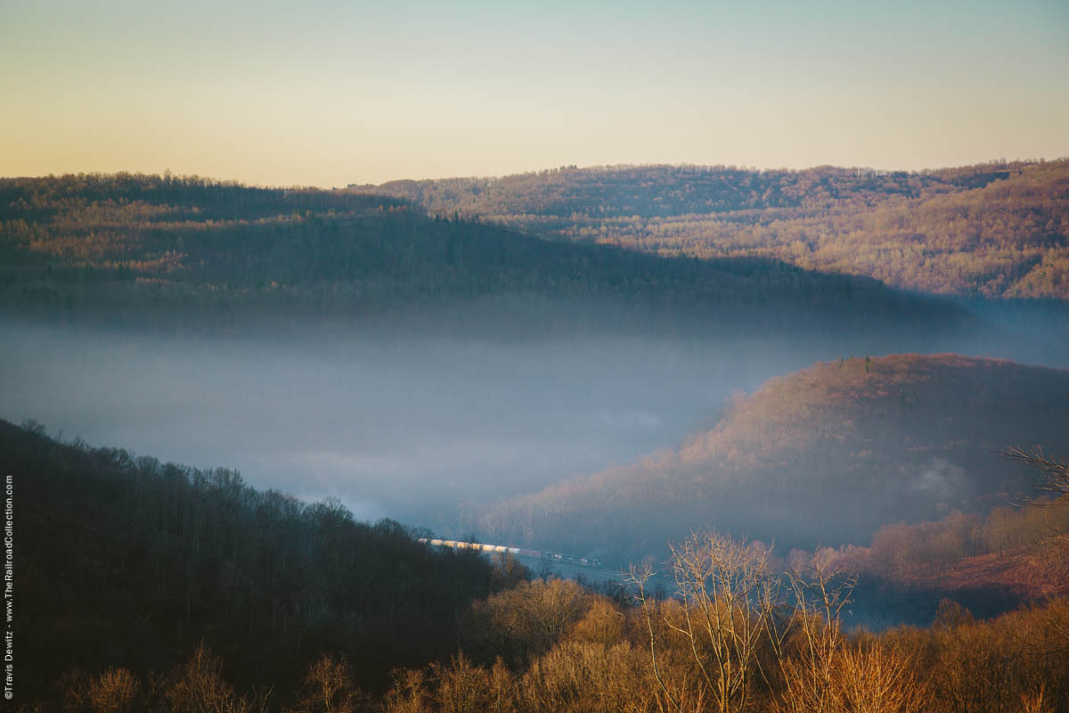
Mineral Point, Pa.
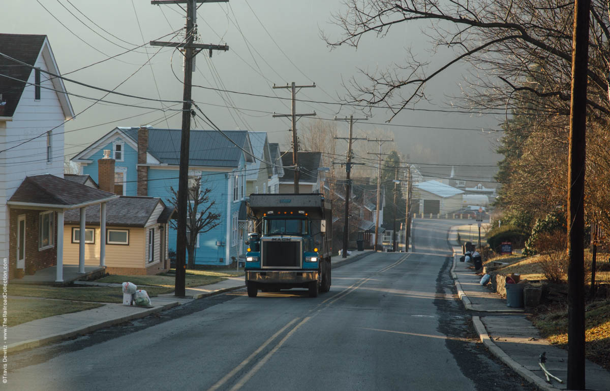
Summerhill, Pa.
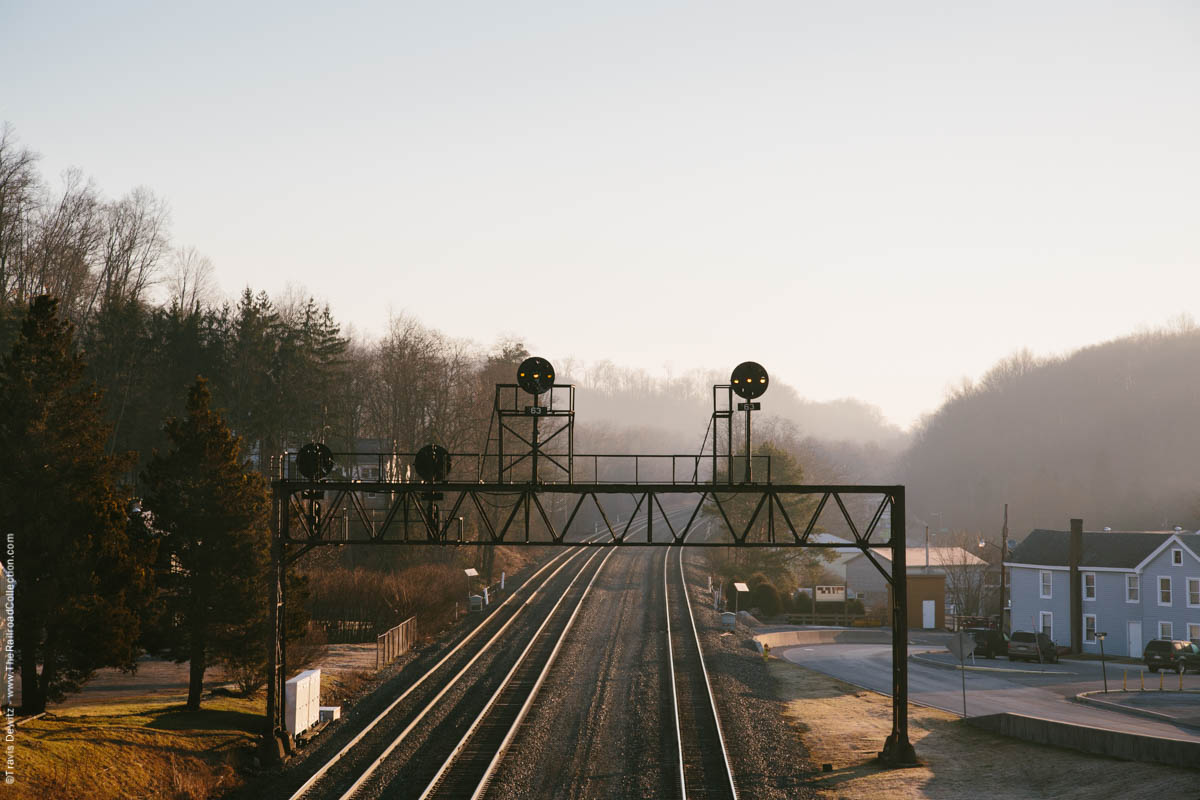
Summerhill, Pa.
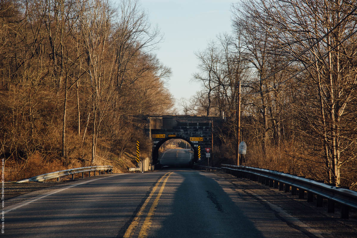
Wilmore, Pa.
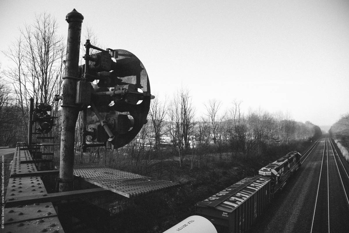
Portage, Pa.
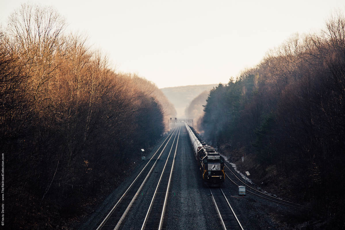
Portage, Pa.
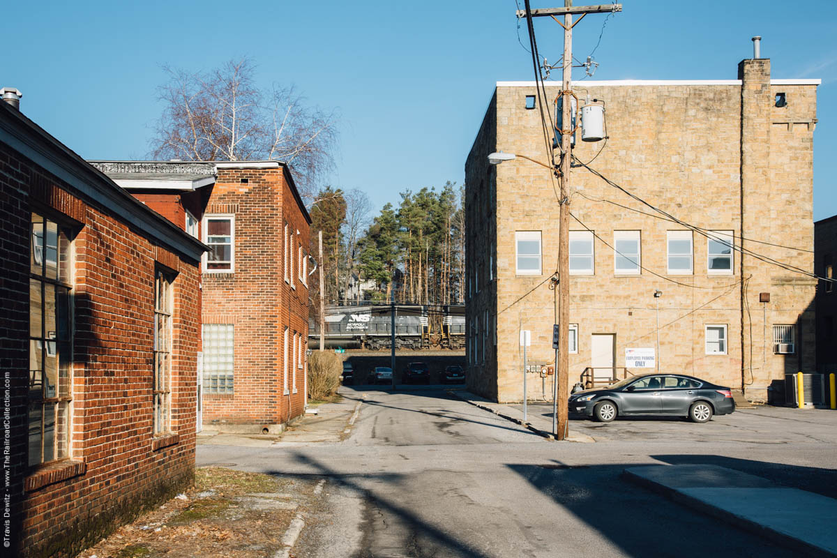
Cresson, Pa.
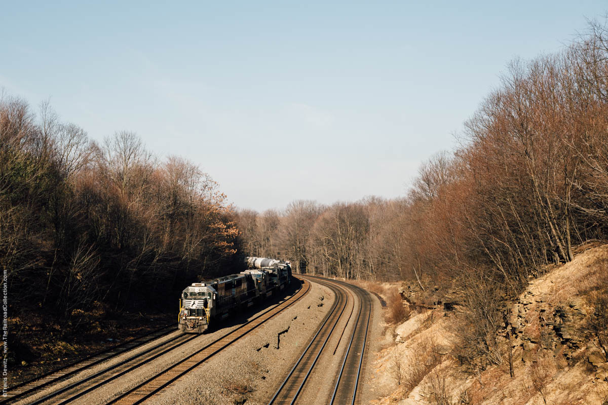
Cresson, Pa.
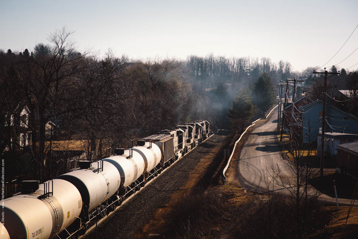
Tunnelhill, Pa.
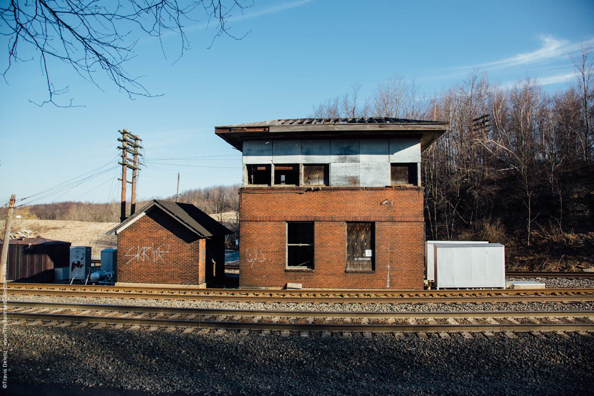
AR Tower – Tunnelhill, Pa.
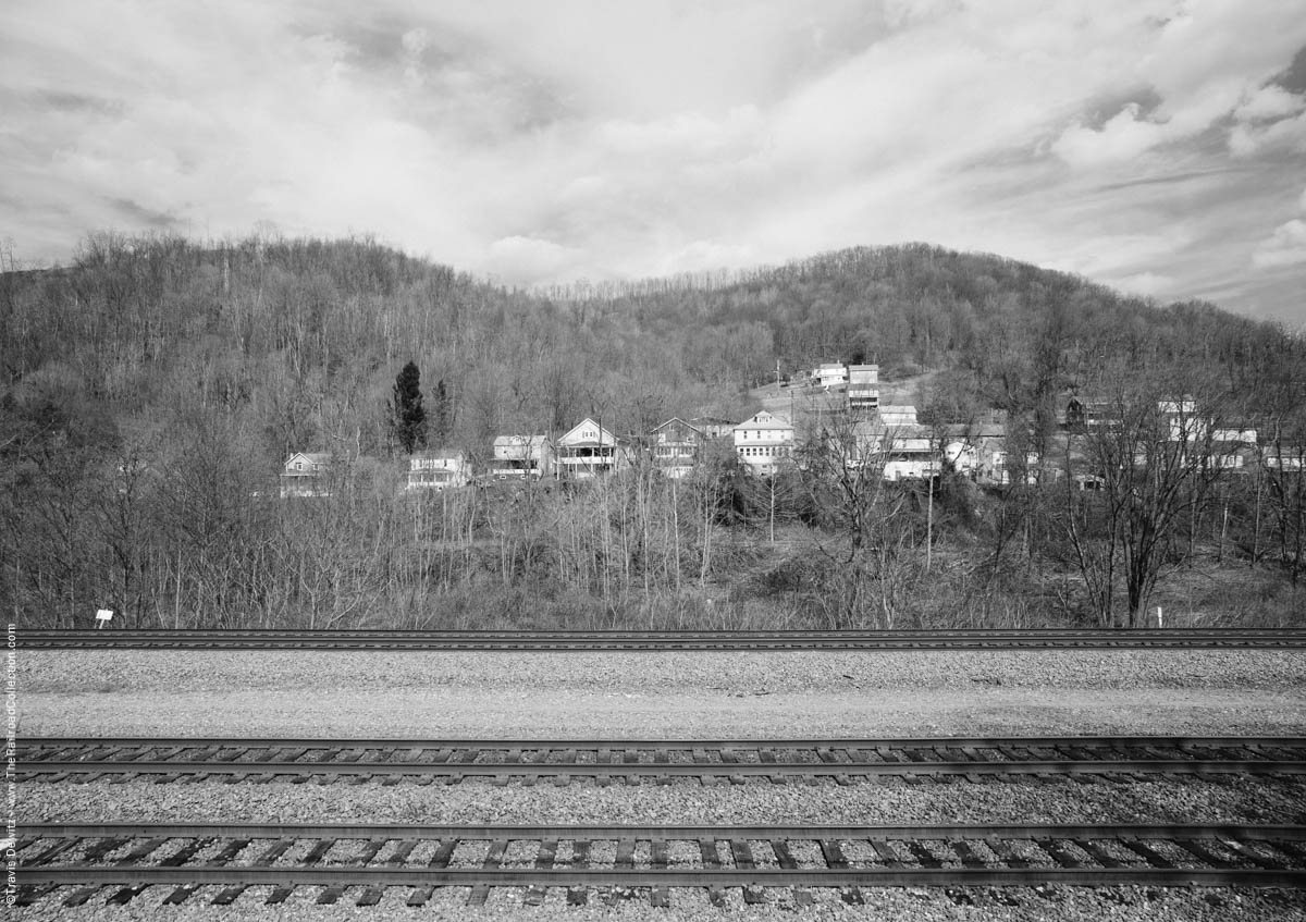
Ehrnfield, Pa.
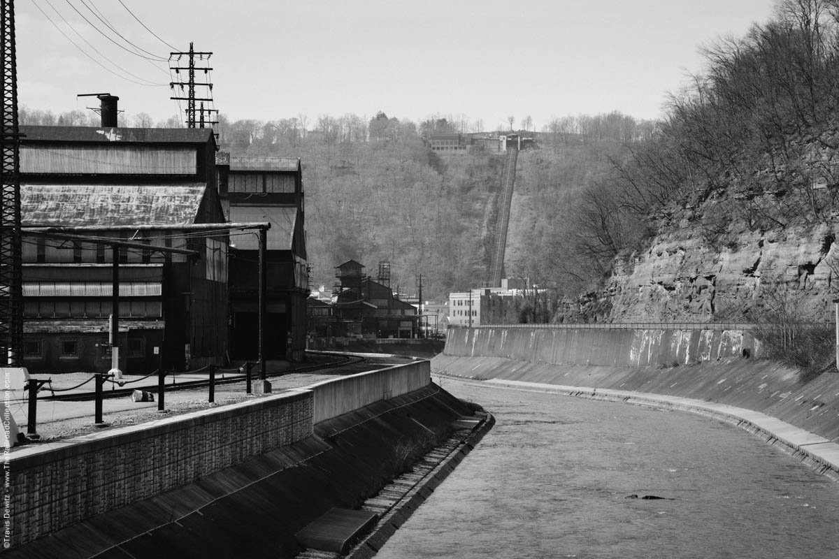
Johnstown, Pa.
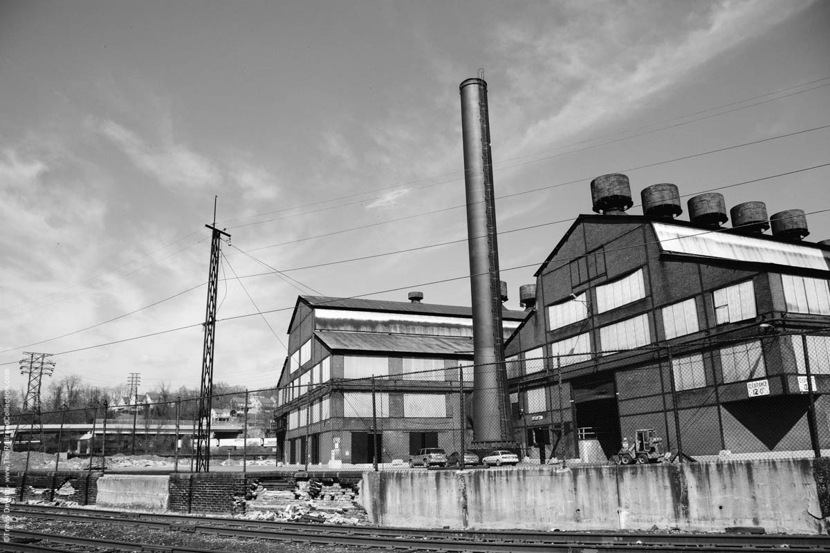
Johnstown, Pa.
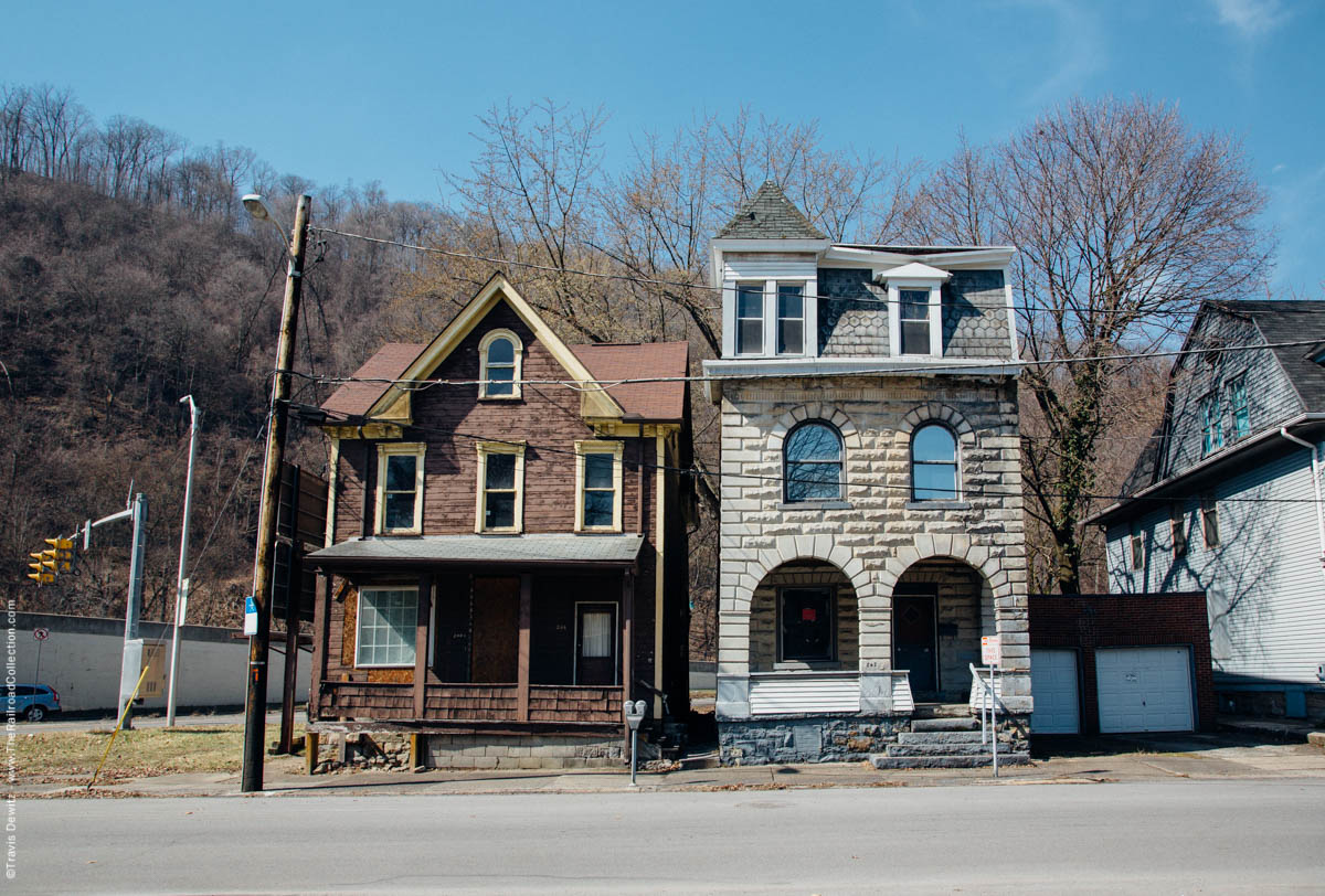
Johnstown, Pa.
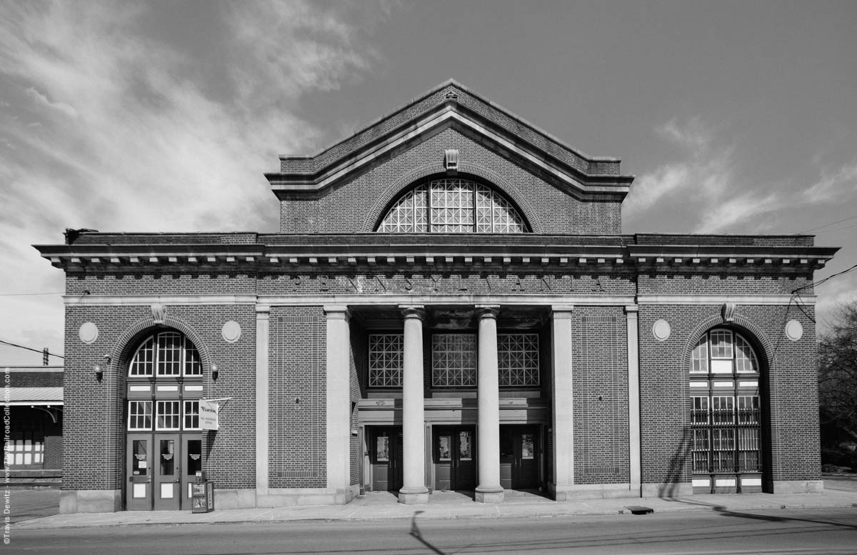
Amtrak Station – Johnstown, Pa.
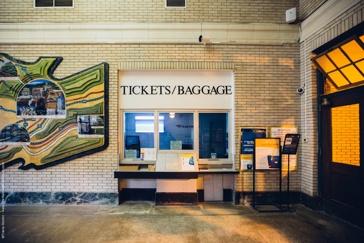
Johnstown, Pa.
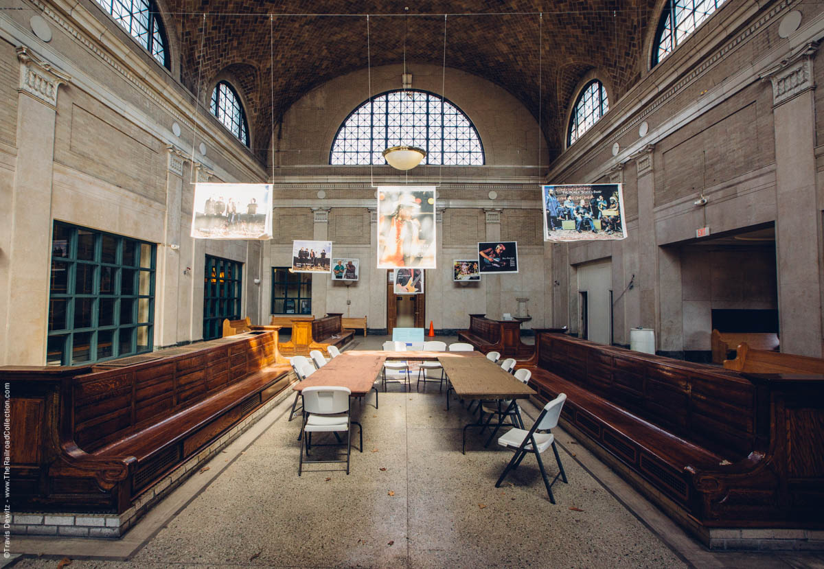
Johnstown, Pa.
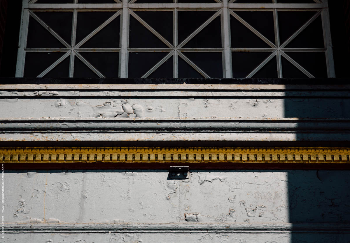
Amtrak Station – Johnstown, Pa.
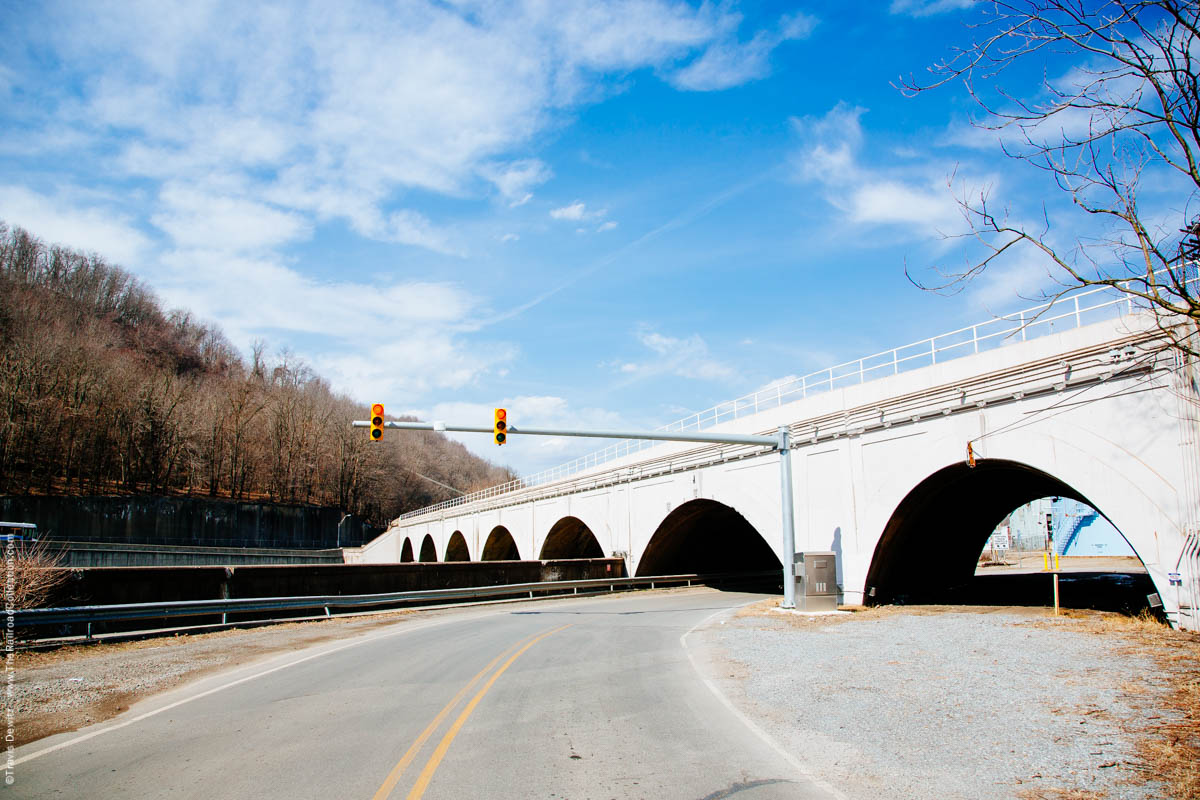
Johnstown, Pa.
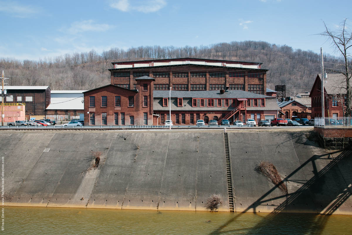
Cambria Iron Works – Johnstown, Pa.
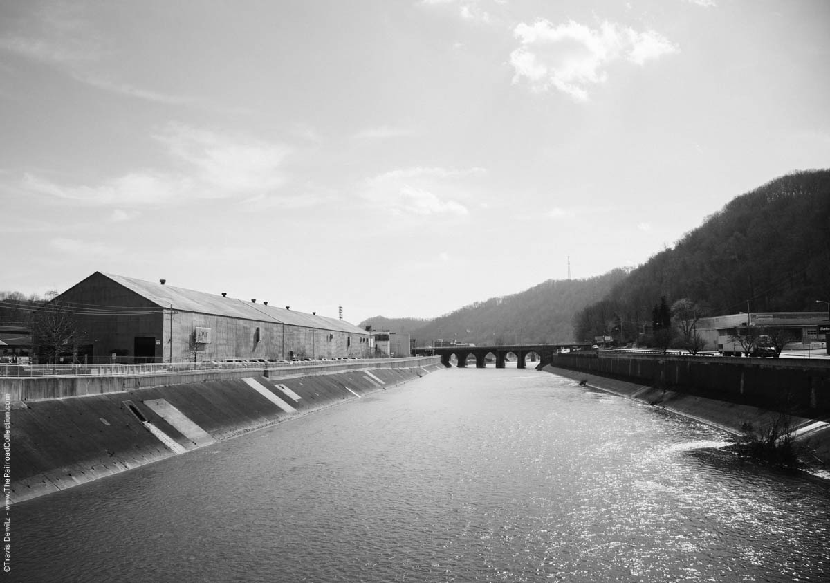
Conemaugh River – Johnstown, Pa.
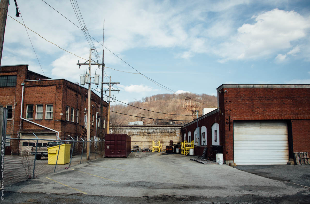
Johnstown, Pa.
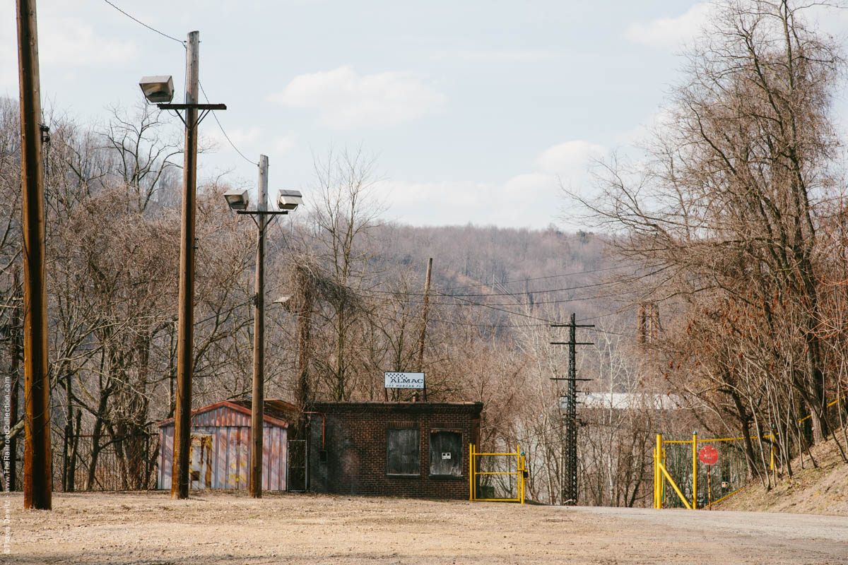
Hilltop Steel Mill Gate – Johnstown, Pa.
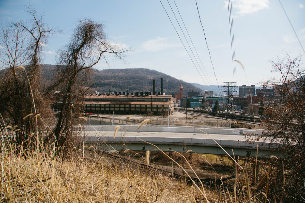
Johnstown, Pa.
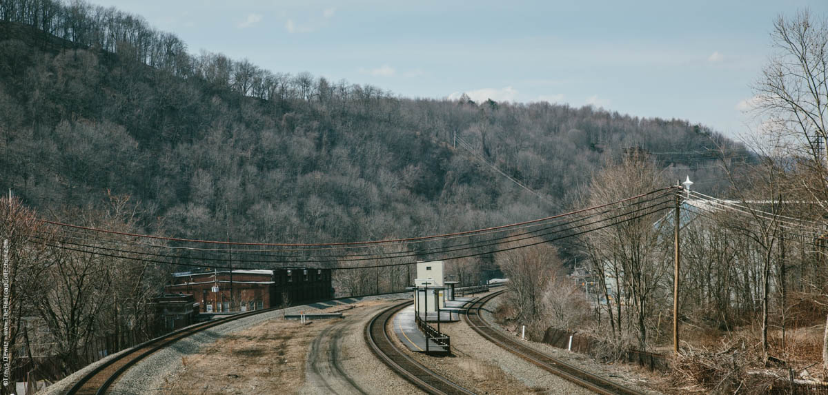
Amtrak Platform – Johnstown, Pa.
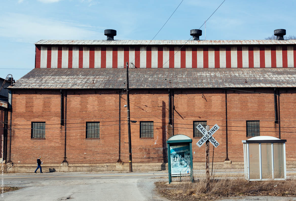
Johnstown, Pa.
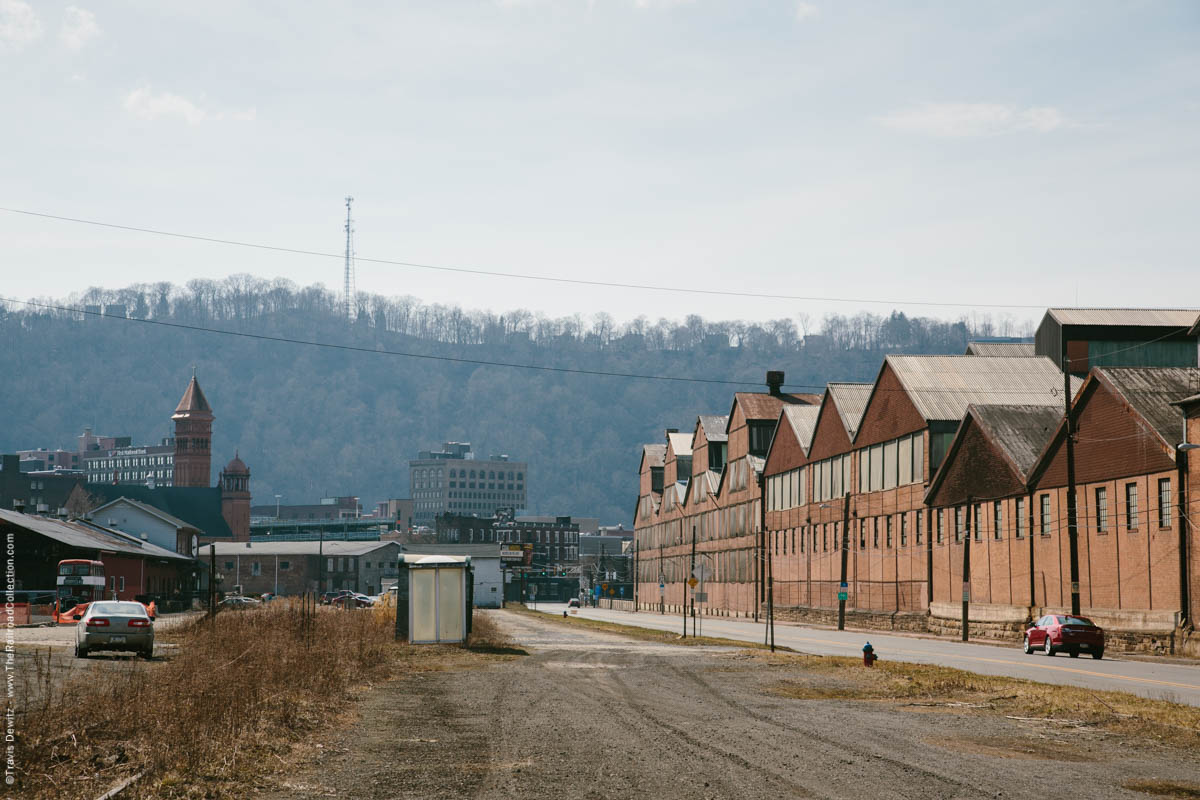
Johnstown, Pa.
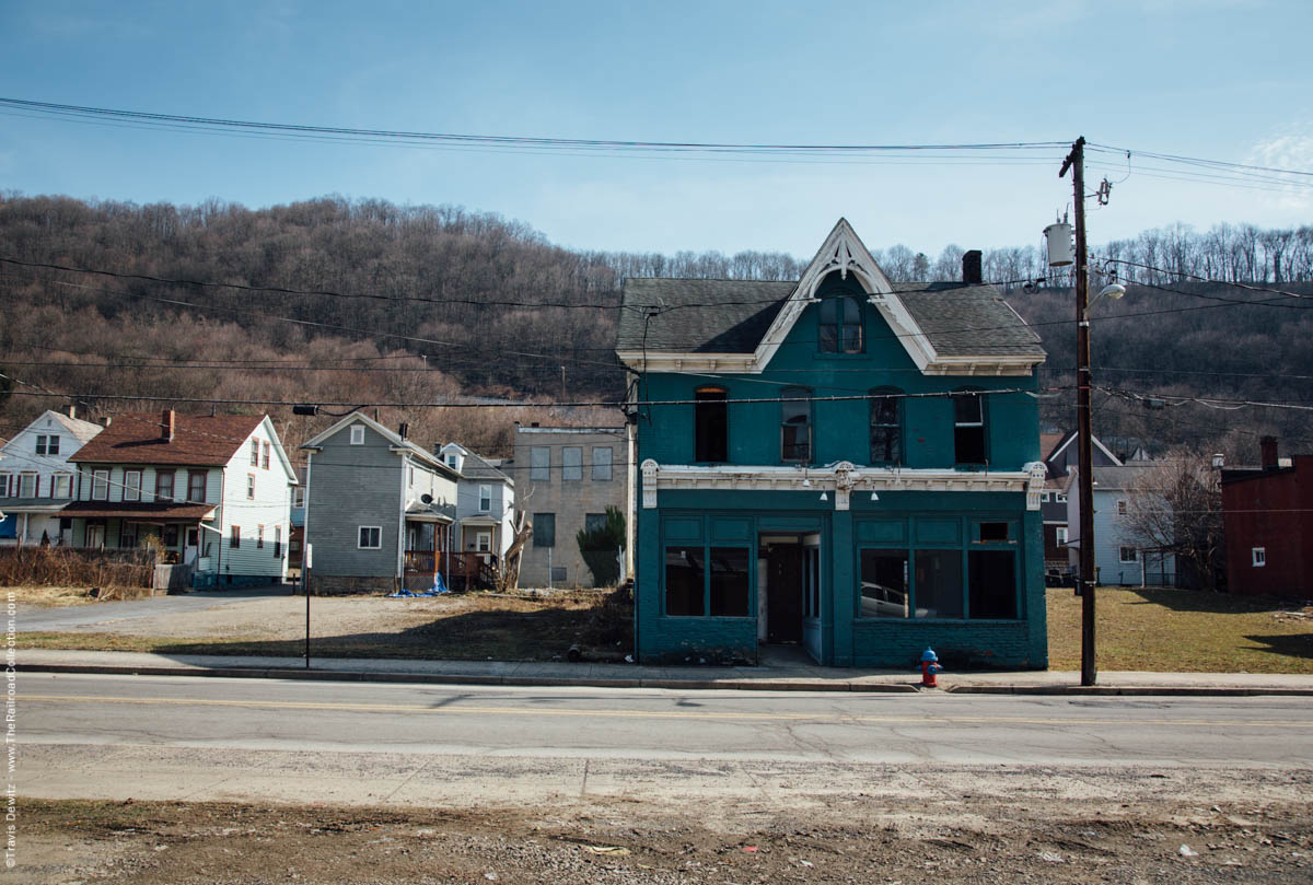
Johnstown, Pa.
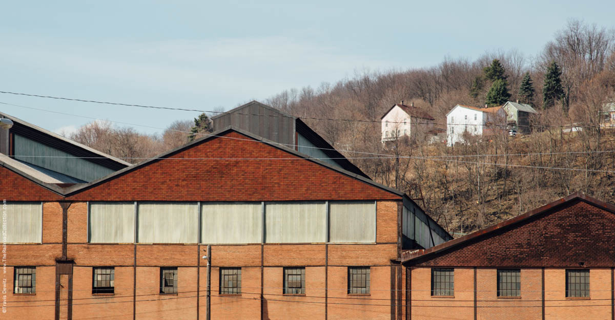
Johnstown, Pa.
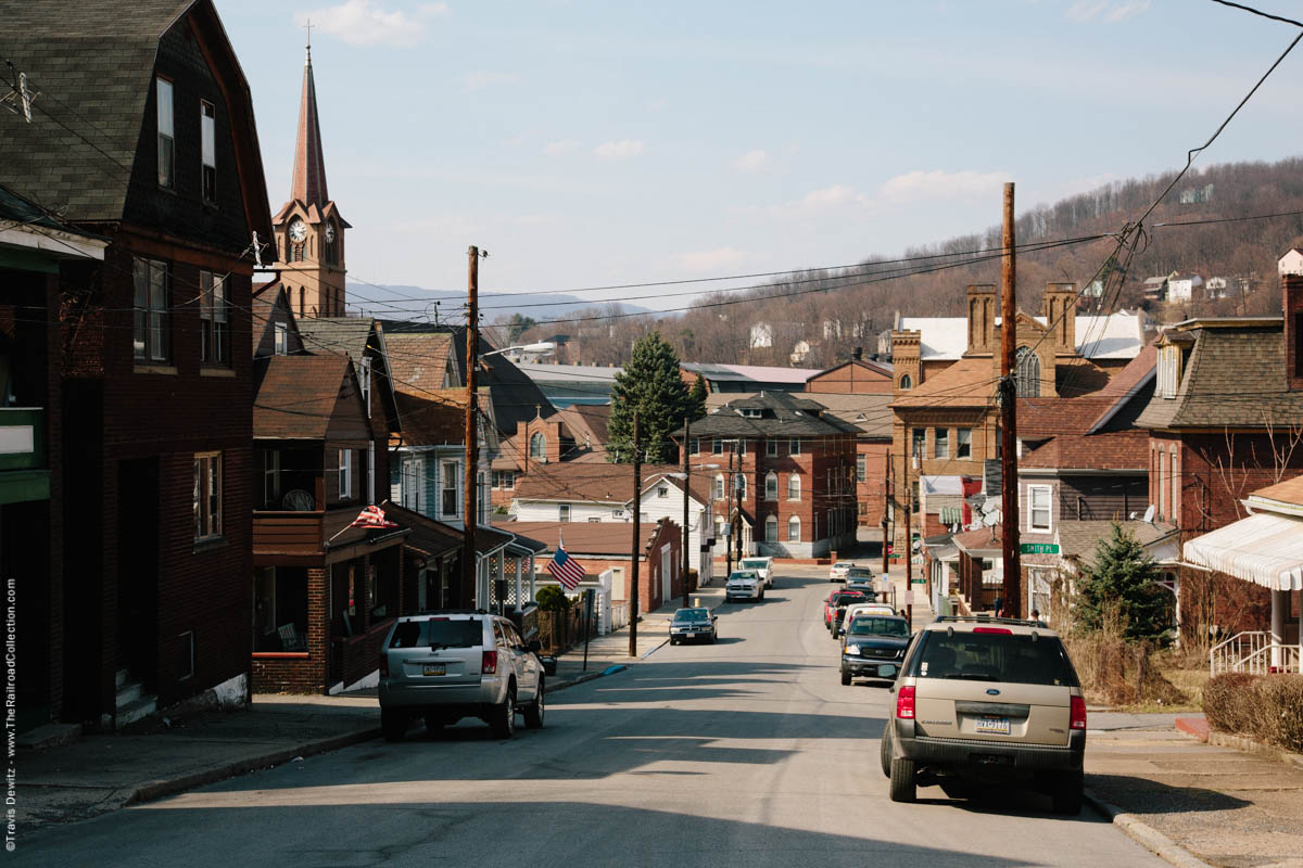
Johnstown, Pa.
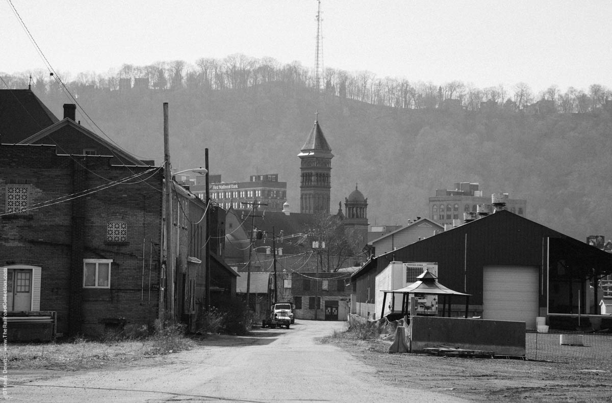
Johnstown, Pa.
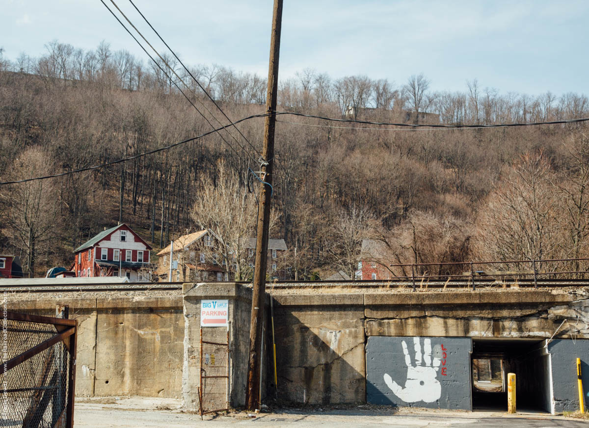
Woodvale, Pa.
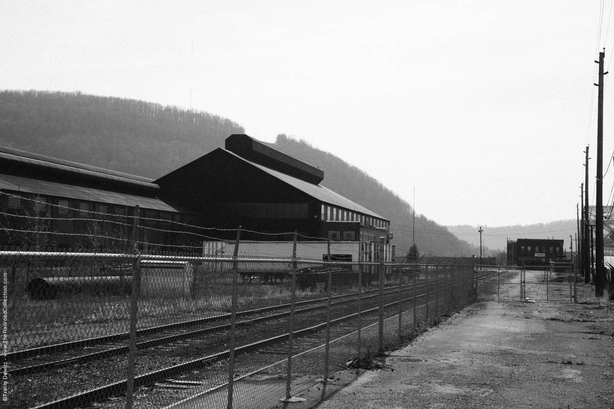
Cambria Steel Co. – Franklin, Pa.
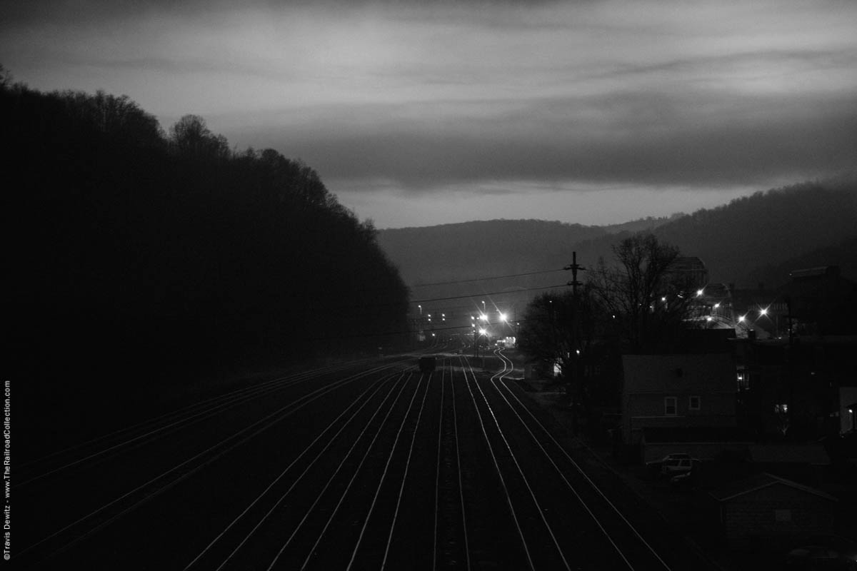
Woodvale Yard
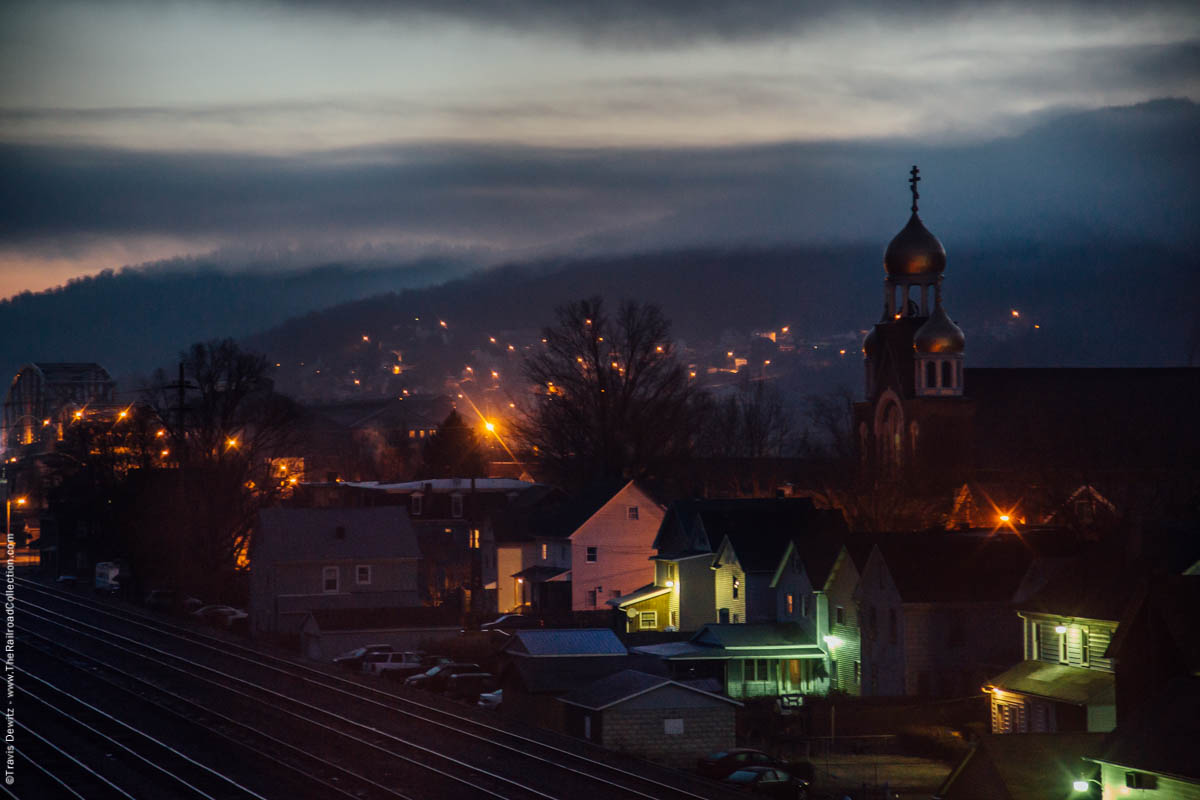
Woodvale, Pa.
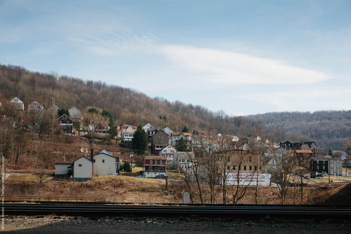
Franklin, Pa.
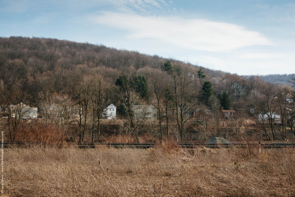
Franklin, Pa.
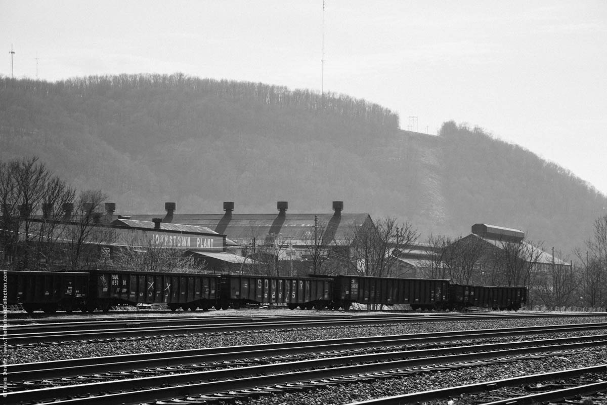
Franklin, Pa.
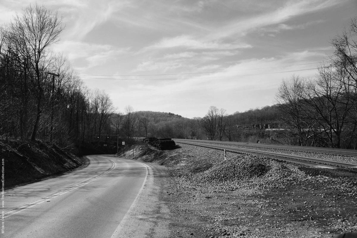
Mineral Point, Pa.
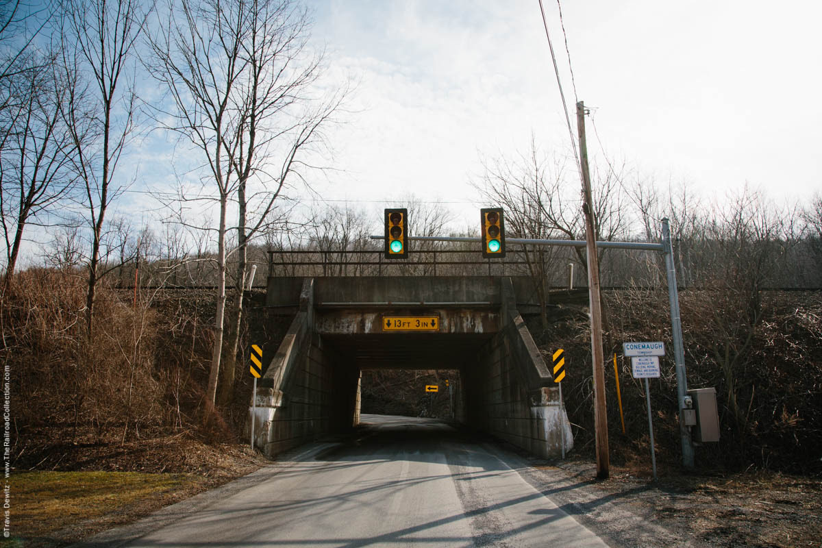
Mineral Point, Pa.
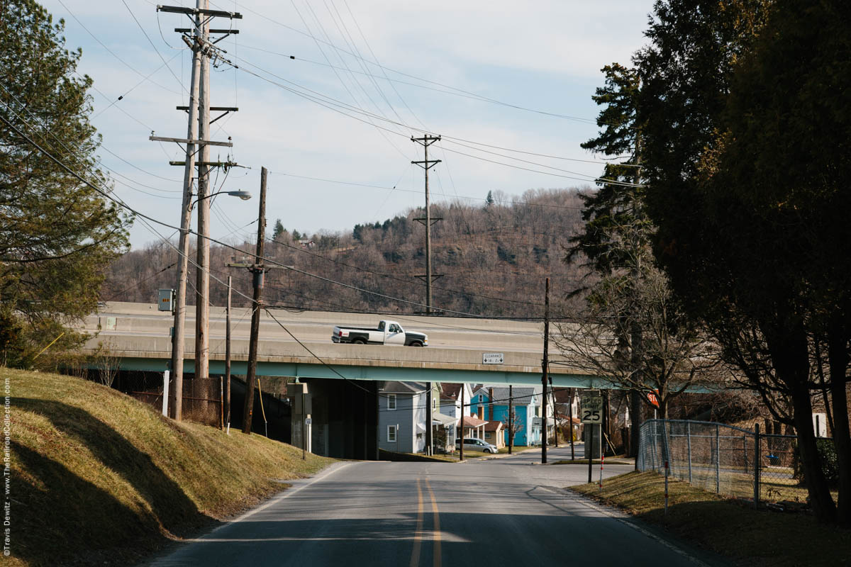
Summerhill, Pa.
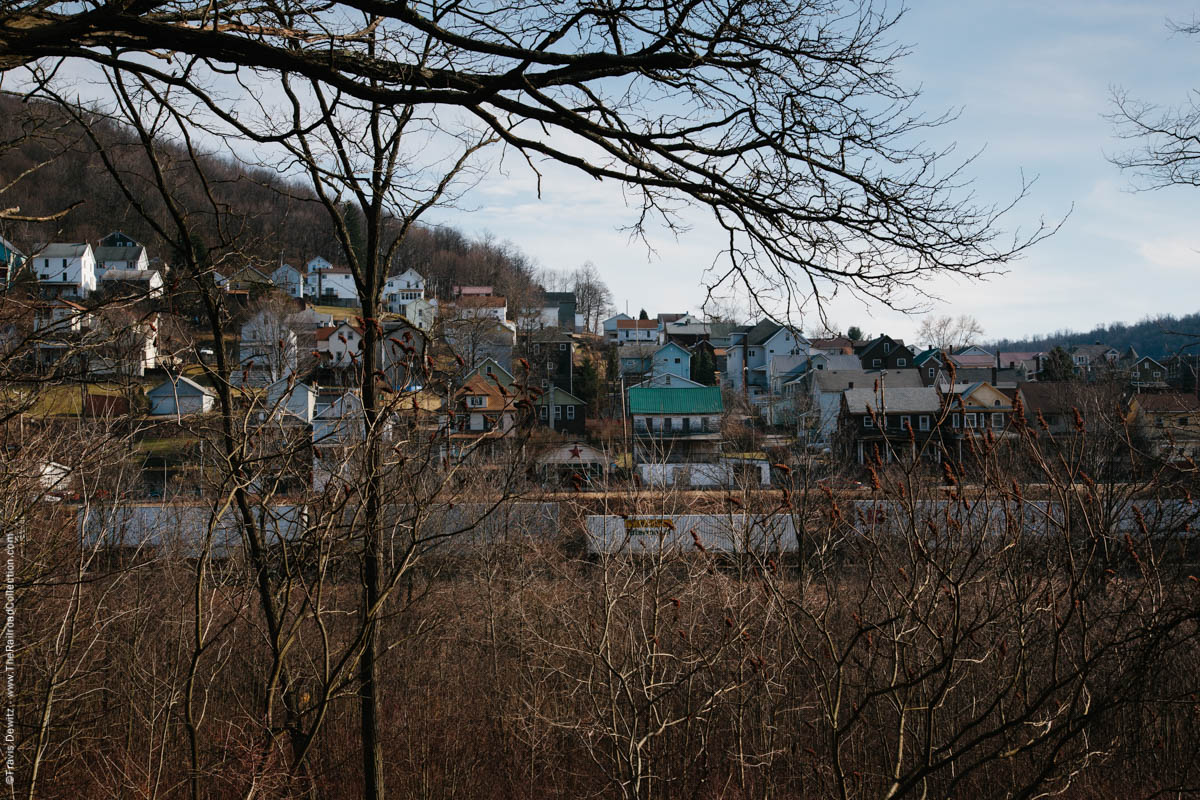
South Fork, Pa.
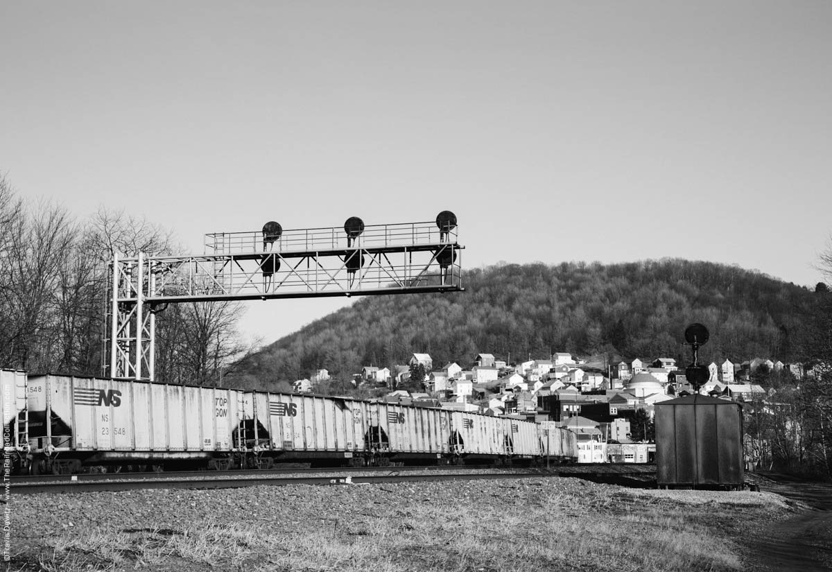
South Fork, Pa.
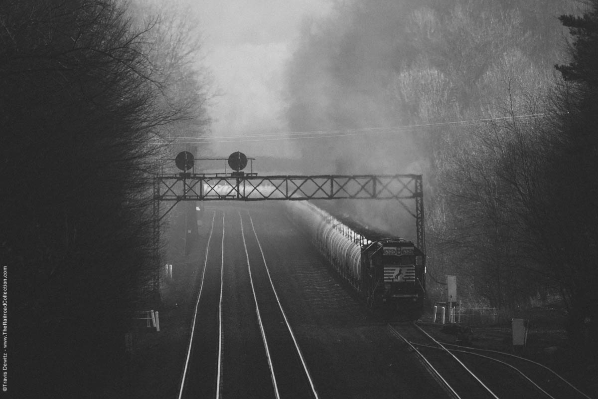
Portage, Pa.
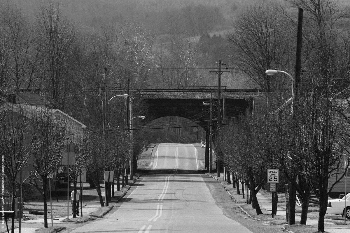
Wilmore, Pa.
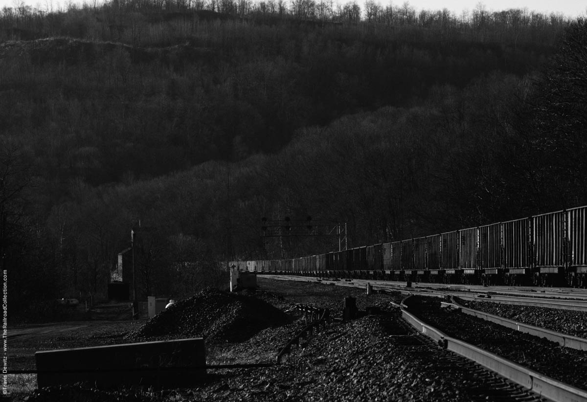
South Fork, Pa.
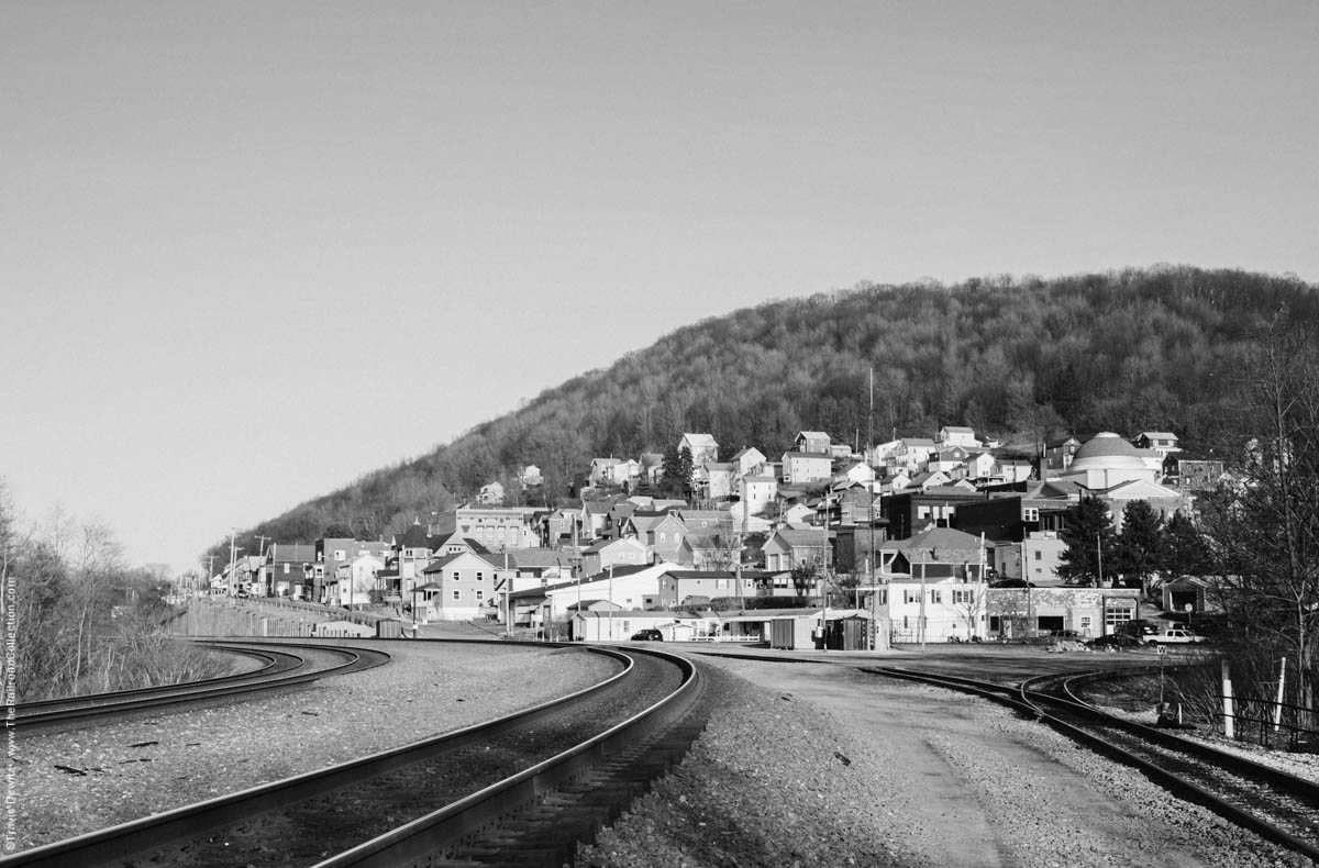
South Fork, Pa.
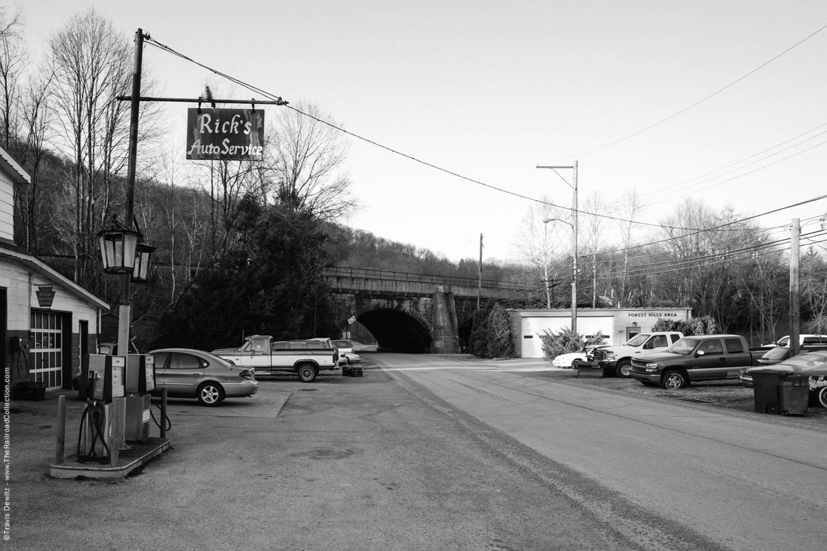
Summerhill, Pa.
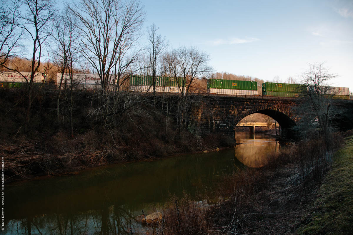
Summerhill, Pa.
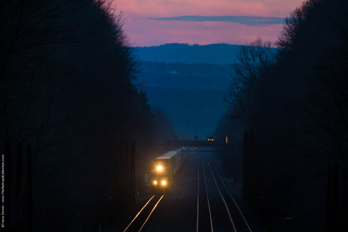
Cassandra, Pa.
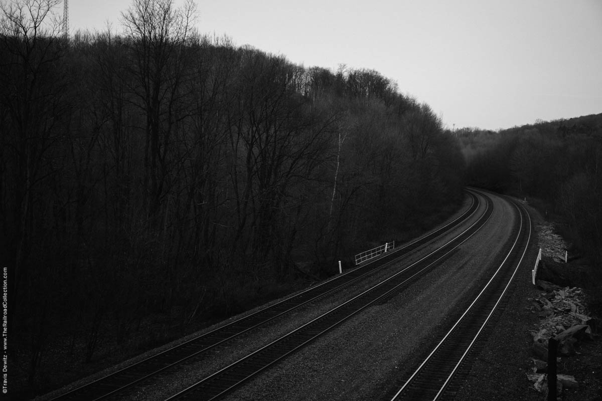
Cassandra, Pa.
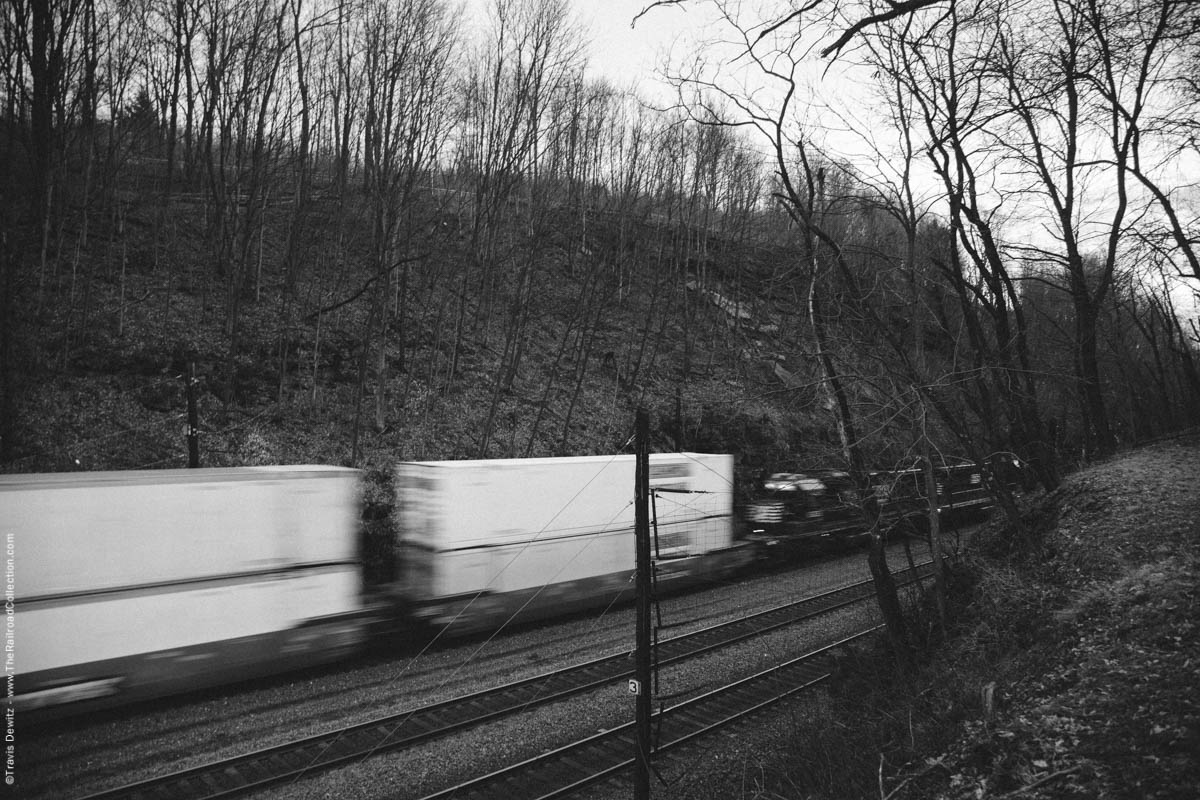
Cassandra, Pa.
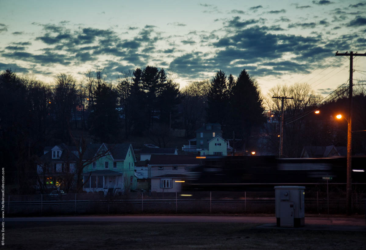
Lilly, Pa.
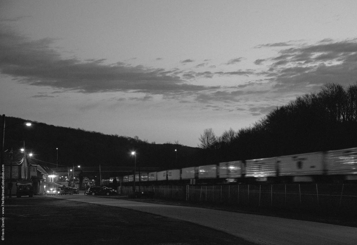
Lilly, Pa.
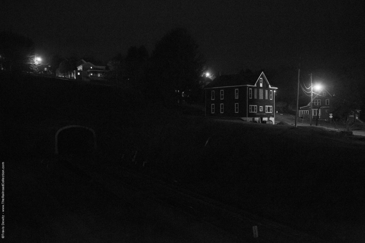
Gallitzin, Pa.
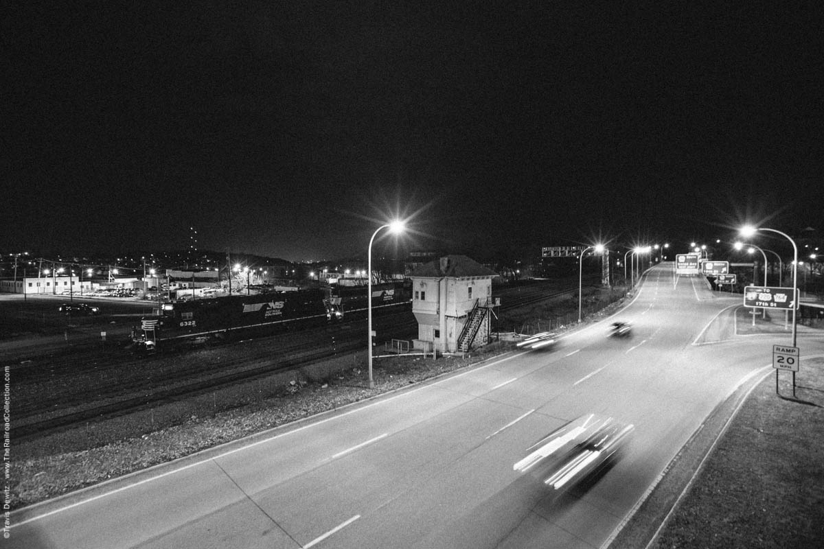
Alto Tower – Altoona, Pa.
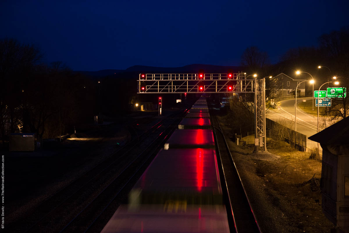
Altoona, Pa.
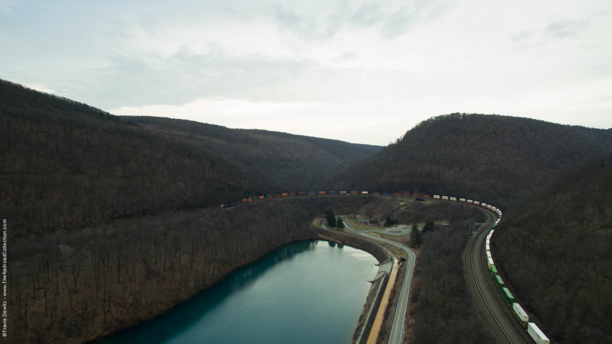
Horseshoe Curve – Altoona, Pa.
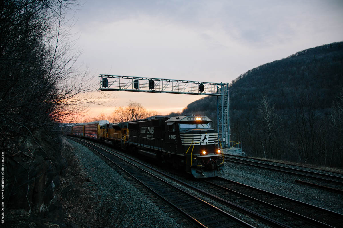
Norfolk Southern autorack train grinds around Horseshoe Curve on this beautiful late winter morning near Altoona, Pennsylvania.
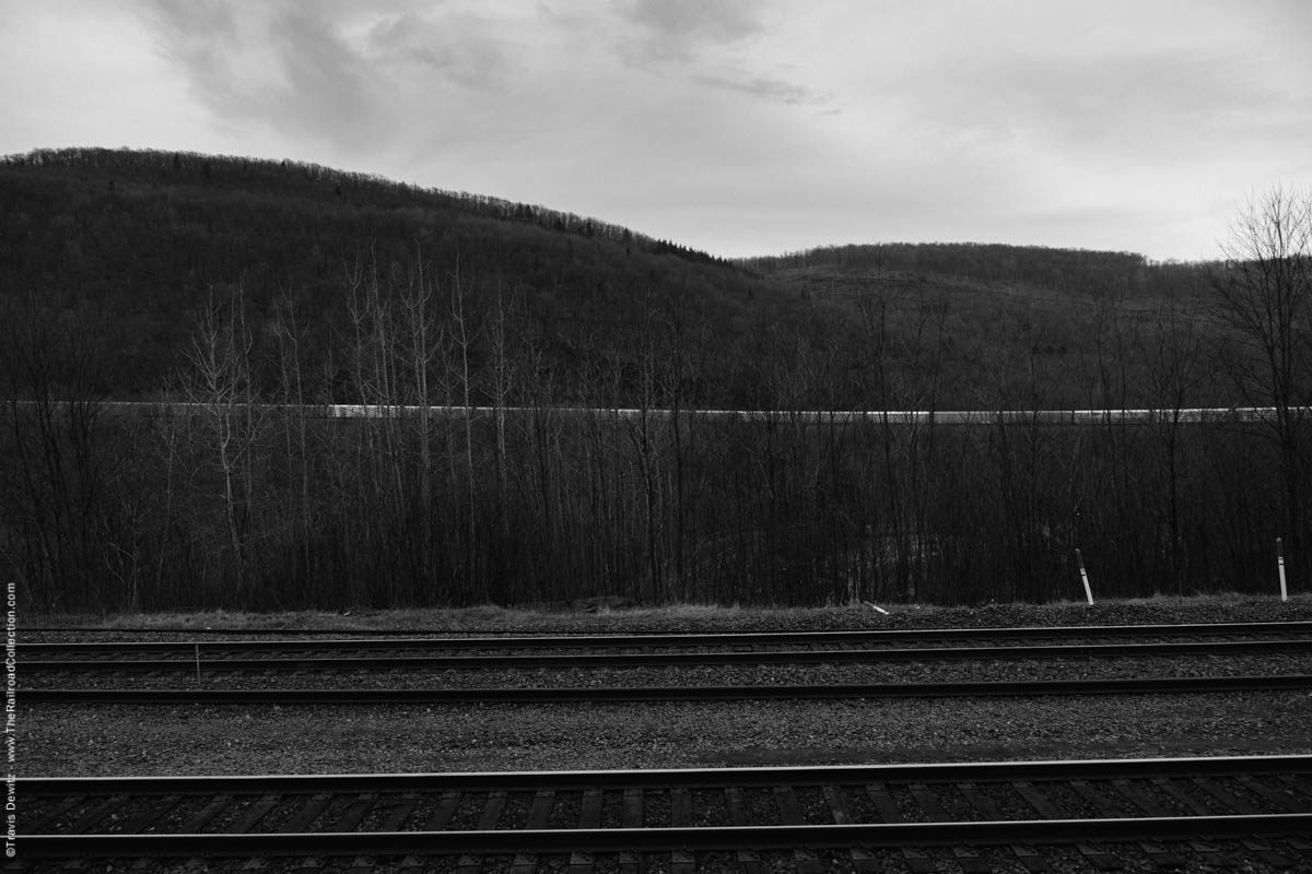
Horseshoe Curve
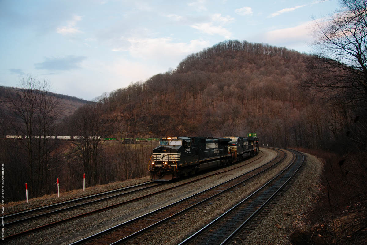
Horseshoe Curve
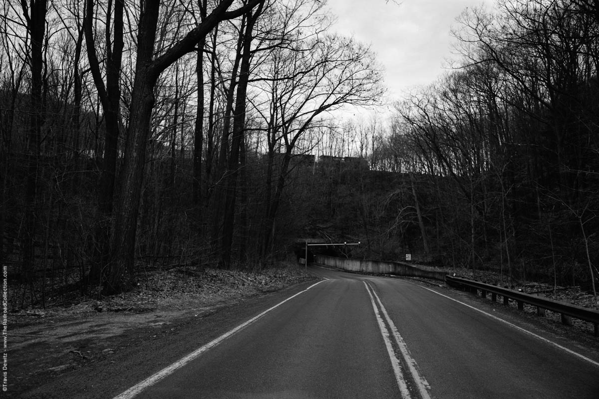
Horseshoe Curve – Altoona, Pa.
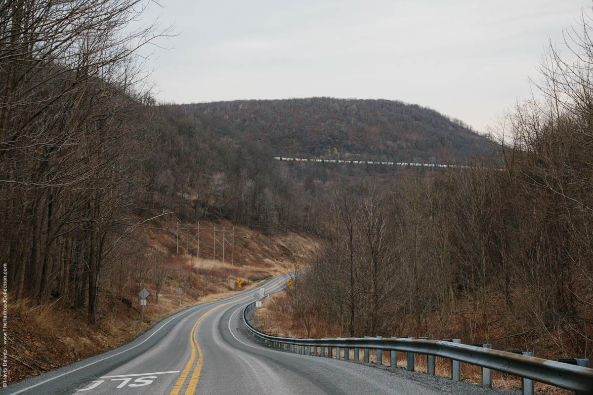
Sugar Run Gap – Tunnelhill, Pa.
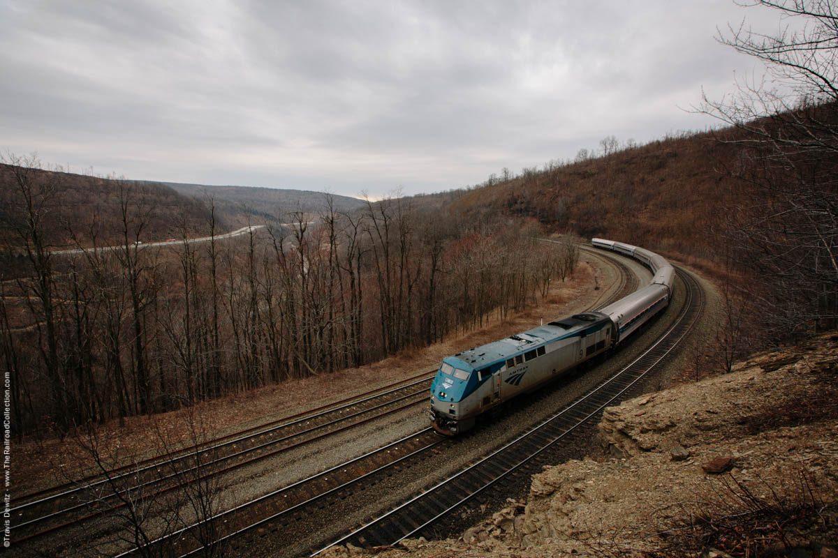
The Pennsylvanian – Allegrippus Curve
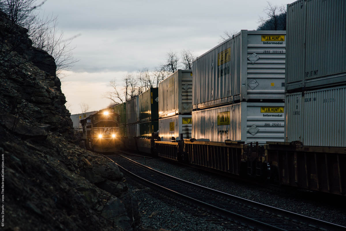
Allegrippus Curve
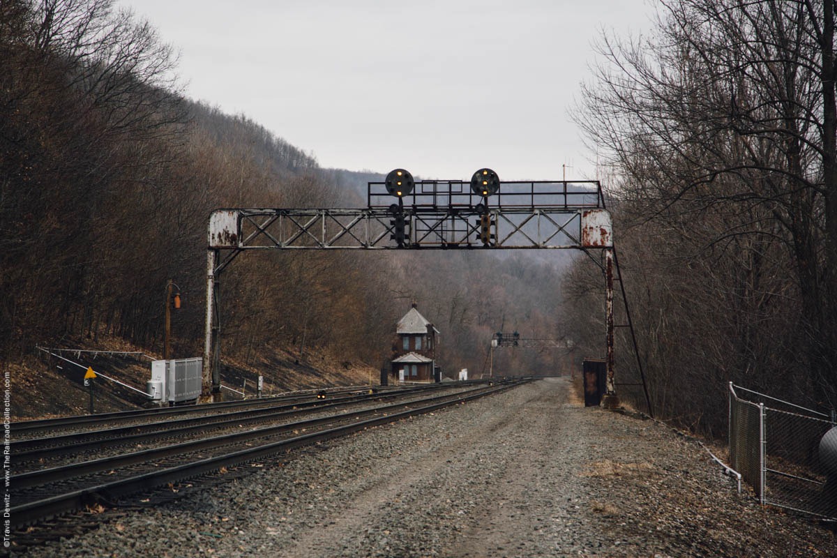
MG Tower – Gallitzen, Pa.
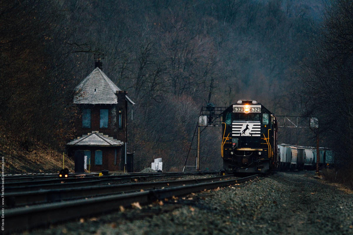
MG Tower – Gallitzen, Pa.
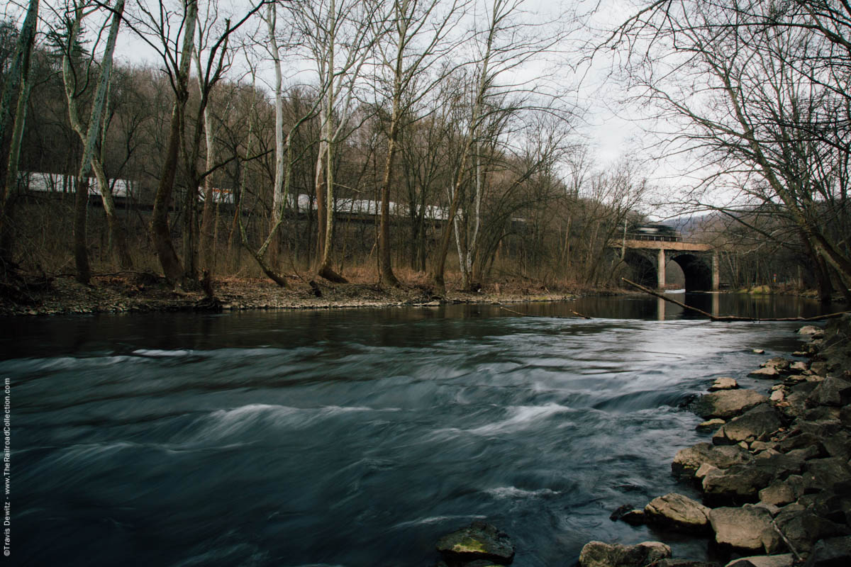
Little Juniata River – Tyrone, Pa.

About the Author
Travis Dewitz is a professional photographer located out of Eau Claire, Wisconsin. He has been published in many books and magazines including many in the railroad industry. He does a lot of photography work and environmental portraitures for many companies and heavy industries in and around Wisconsin. He has grown up with trains and railroads are one of his passions that he pursues. His railroad photography can be seen on his website The Railroad Collection.
Like and Share with your friends and family!

