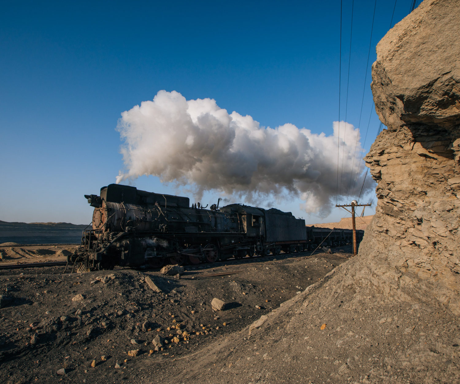
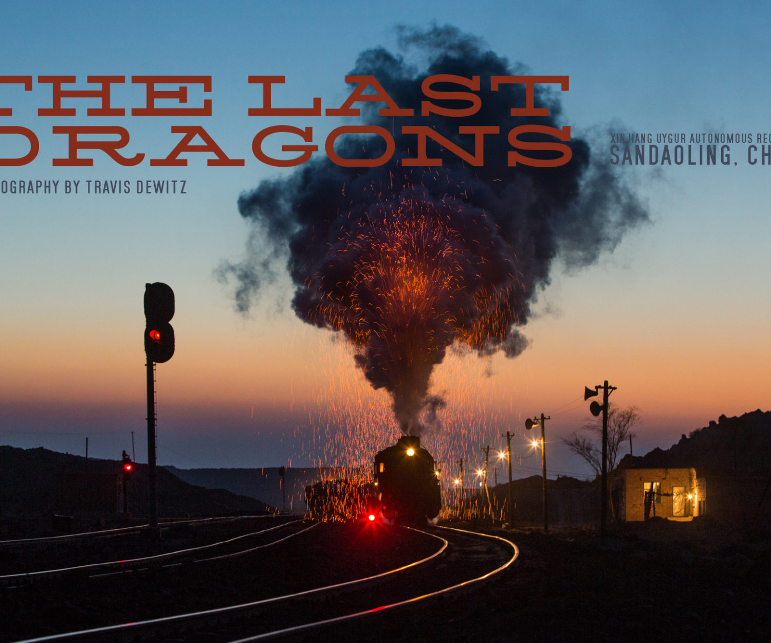
In the dead of winter, a friend and I boarded an American Airlines flight to China. It was January of…


31
Jan 2016
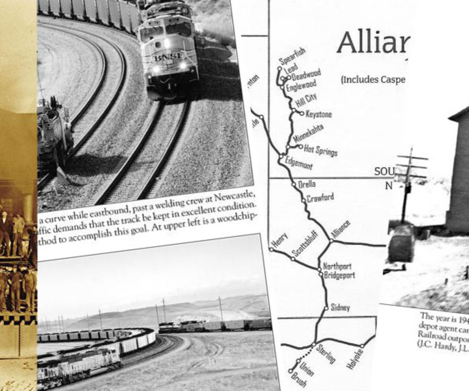
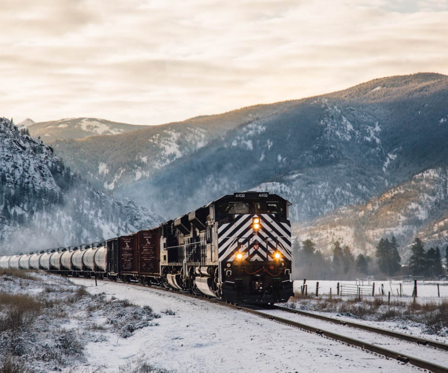
History of Montana Rail Link’s Gas Train – Historical Railroad Geography Series
The Yellowstone Pipeline runs 531 miles across three states between Billings, Montana and Moses Lake, Washington. The 10-inch pipeline was finished…
19
Dec 2015
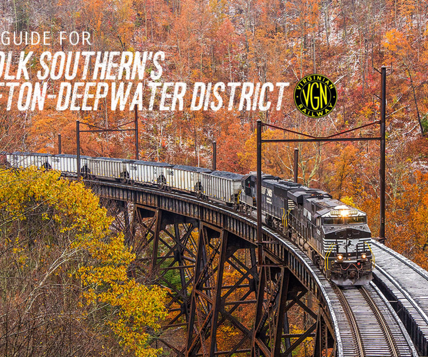
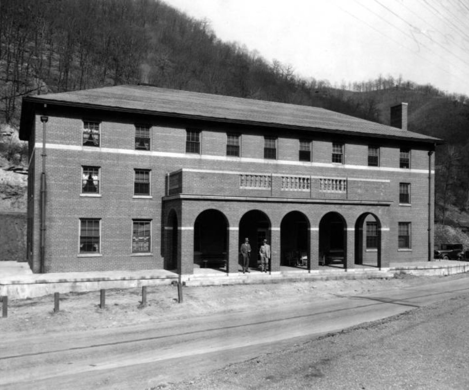
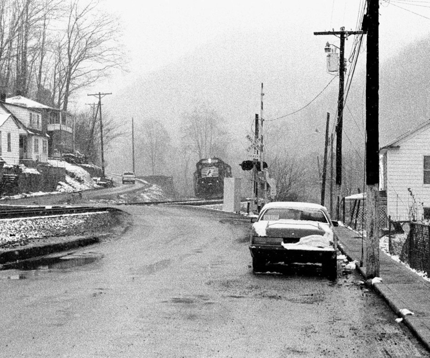
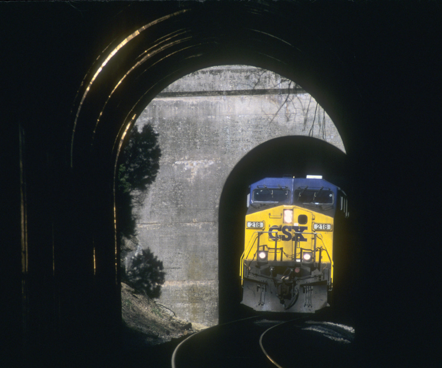
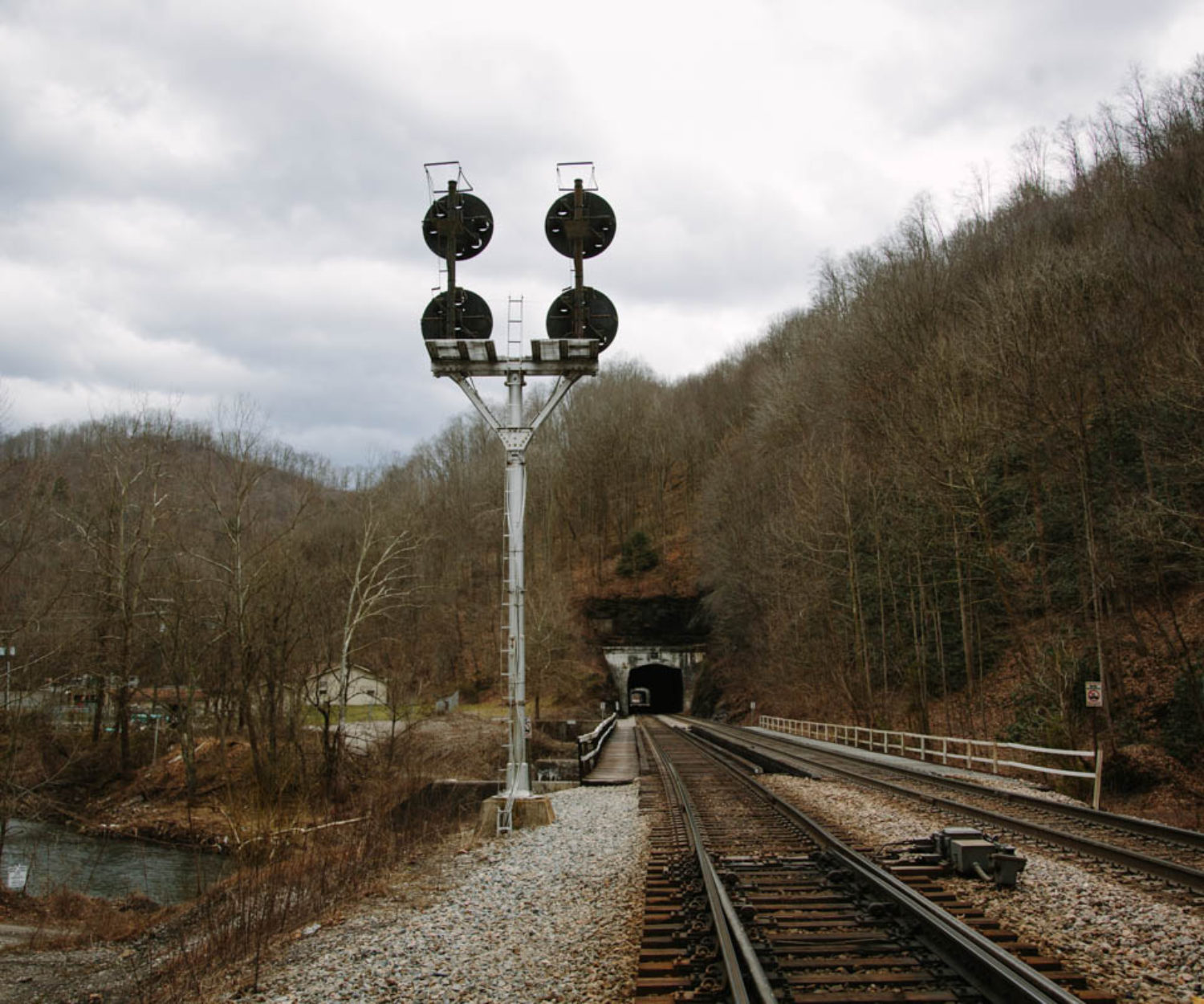
Hemphill Tunnels – Historical Railroad Geography Series
The Norfolk and Western Railway's coal hauling right of way once followed the course of the Tug River between Welch…